4 Astor Avenue, Romford, RM7 9JH
About 4 Astor Avenue
4 Astor Avenue is a semi-detached house in Romford (RM7 9JH). It has a recorded floor area of 79 m² (around 850 sq ft), construction records dating it to 1930-1949 and council tax band D. The latest certificate (July 2022) shows a D (score 68), on the cusp of jumping into the C band. The recommended improvements would lift it to B (score 88), a 2-band jump.
On a £-per-square-foot basis, the last sale (£512/sq ft) was about 111.9% above the typical sold price in the postcode. At 79 m² it's 19.4% smaller than the typical home in the postcode (98 m² median across 6 EPCs). Most recent transfer: August 2022 at £435,000. That sale was during the post-pandemic price surge, when transactions cleared materially above pre-2020 trend.
Everything you need to know about 4 Astor Avenue
The true value, the hidden risks and the full sale history, in one report.
30-day money-back guarantee

The data behind every report


Energy performance
Recommended upgrades on file would lift this property by multiple EPC bands.
EPC Rating
Planning history
4 Astor Avenue has no planning applications on record.
Notable planning nearby
8applications of note in the surrounding area
We flagged 1 thing worth checking at 4 Astor Avenue
Independent checks surfaced things a buyer would want to understand before offering. The report explains each one in full, with the underlying data and what to ask.
- Signs of HMO activity in the area
30-day money-back guarantee
Sales history & valuation
The latest sale landed in the post-pandemic price surge — useful context when reading the figure.
£478,000
Modelled from EPC, postcode comparables.
£435,000
Recorded with HM Land Registry.
Sales timeline
11 August 2022Most recent
£435,000
Median price across the last 5 sales in RM7 9JH: £415,000 (2024–2016).
Versus other Astor Avenue homes
On epc rating, 4 Astor Avenue stands well clear of the street.
Price per m²
£5,506
Street avg £3,820
Floor Area
79 m²
Street avg 99 m²
Habitable Rooms
5 rooms
Street avg 6 rooms
CO₂ Emissions
2.9 t/year
Street avg 3.9 t/year
Everything you need to know about 4 Astor Avenue
The true value, the hidden risks and the full sale history, in one report.
30-day money-back guarantee
The data behind every report
Similar properties nearby
1 Knightsbridge Gardens
RM7 9AD
1 Lonsdale Avenue
RM7 9JT
1 Norfolk Road
RM7 9DL
1 Astor Avenue
RM7 9JH
1 Eddy Close
RM7 9HR
1 Kensington Road
RM7 9DA
1 Eastbury Road
RM7 9AL
1 Lessington Avenue
RM7 9EB
The neighbourhood at a glance
Reported crime in the wider district is trending notably upward year-on-year.
Crime
7/mo
Rising year-on-year across the wider district.
Nearest stop
0.1 km
Romford Stadium — bus stop.
Closest school
0.1 km
Crowlands Primary School. 41 schools nearby.
Go deeper on the local area
The full report breaks down crime, transport links, schools and air quality in depth.
Road noise across the postcode
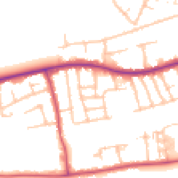
Daytime· 07:00 – 23:00
51.3dB

Night-time· 23:00 – 07:00
41.8dB