5 Norfolk Road, Romford, RM7 9DL
About 5 Norfolk Road
5 Norfolk Road is a three-bedroom mid-terrace house in Romford (RM7 9DL). It has a recorded floor area of 84 m² (around 904 sq ft), construction records dating it to 1900-1929 and council tax band D. The latest certificate (February 2025) shows a C (score 70). When first surveyed in January 2015 the rating was D, the property has climbed 1 band since. Between certificates, lighting went from Poor to Very Good; while window efficiency dropped from Good to Average. The recommended improvements would push it to B (score 89).
Today's modelled estimate of £430,000 sits 62.3% above the 2015 sale of £265,000. Its energy rating outperforms most of the postcode (better than 85% of similar EPCs). 11 years since the last transfer (March 2015).
What this property has
Inside
- Bedrooms3
- Bathrooms1
Outside
- ParkingAllocated
Everything you need to know about 5 Norfolk Road
The true value, the hidden risks and the full sale history, in one report.
30-day money-back guarantee

The data behind every report


Energy performance
EPC Rating
Property Improvements
Changes detected from historical EPC data
More low energy lighting installed
Planning history
5 Norfolk Road has no planning applications on record.
Notable planning nearby
8applications of note in the surrounding area
We flagged 1 thing worth checking at 5 Norfolk Road
Independent checks surfaced things a buyer would want to understand before offering. The report explains each one in full, with the underlying data and what to ask.
- Signs of HMO activity in the area
30-day money-back guarantee
Sales history & valuation
5 Norfolk Road valuation sits well clear of the typical sold price in this postcode.
£430,000
Modelled from EPC, postcode comparables.
£265,000
Recorded with HM Land Registry.
Sales timeline
6 March 2015Most recent
£265,000
Median price across the last 5 sales in RM7 9DL: £412,500 (2024–2024).
Versus other Norfolk Road homes
On co₂ emissions, 5 Norfolk Road stands well clear of the street.
Price per m²
£3,155
Street avg £3,657
Floor Area
84 m²
Street avg 99 m²
Habitable Rooms
5 rooms
Street avg 5 rooms
CO₂ Emissions
2.9 t/year
Street avg 4.4 t/year
Everything you need to know about 5 Norfolk Road
The true value, the hidden risks and the full sale history, in one report.
30-day money-back guarantee
The data behind every report
Similar properties nearby
1 Lessington Avenue
RM7 9EB
1 Burlington Avenue
RM7 9JD
1 Eastbury Road
RM7 9AL
1 Eddy Close
RM7 9HR
1 Kensington Road
RM7 9DA
1 Knightsbridge Gardens
RM7 9AD
1 Norfolk Road
RM7 9DL
1 Astor Avenue
RM7 9JH
The neighbourhood at a glance
Reported crime in the wider district is trending notably upward year-on-year.
Crime
7/mo
Rising year-on-year across the wider district.
Nearest stop
0.2 km
Richards Avenue — bus stop.
Closest school
0.3 km
Crowlands Primary School. 39 schools nearby.
Go deeper on the local area
The full report breaks down crime, transport links, schools and air quality in depth.
Road noise across the postcode
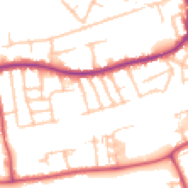
Daytime· 07:00 – 23:00
51.9dB

Night-time· 23:00 – 07:00
41.8dB