12 Cedar Close, Romford, RM7 7JL
About 12 Cedar Close
12 Cedar Close is a semi-detached house in Romford (RM7 7JL). It has a recorded floor area of 41 m² (around 441 sq ft), construction records dating it to 1950-1966 and council tax band C. The latest certificate (September 2023) shows a C (score 69), just inside the C band. When first surveyed in January 2009 the rating was D, the property has climbed 1 band since. Between certificates, roof efficiency went from Average to Good, hot-water efficiency went from Average to Good and lighting went from Good to Very Good; while wall efficiency dropped from Good to Average. The recommended improvements would push it to B (score 88).
One historical planning record sits against the property in 2024.
Everything you need to know about 12 Cedar Close
The true value, the hidden risks and the full sale history, in one report.
30-day money-back guarantee

The data behind every report


Energy performance
EPC Rating
Property Improvements
Changes detected from historical EPC data
Heating controls upgraded for better temperature management
Hot water efficiency improved
Roof insulation improved
More low energy lighting installed
Planning history
- Jan 2024FullIn report
Application of fabric first Retrofit measures to properties in Cedar Close
- Documents
- 11 docs on file
- Reference
- P1499.23
We flagged 1 thing worth checking at 12 Cedar Close
Independent checks surfaced things a buyer would want to understand before offering. The report explains each one in full, with the underlying data and what to ask.
- Signs of HMO activity in the area
30-day money-back guarantee
Sales history & valuation
12 Cedar Close has no Land Registry sales on file, suggesting it has stayed in the same hands since registration began.
£293,000
Modelled from EPC, postcode comparables.
No sales recorded with HM Land Registry
That can mean the property has never traded since the registry began publishing in 1995, was a new build that hasn't been registered yet, or is held in the same hands long-term.
Versus other Cedar Close homes
EPC Rating for 12 Cedar Close lags the street by a wide margin.
EPC Rating
69 (C)
Street avg 70 (C)
Floor Area
41 m²
Street avg 41 m²
CO₂ Emissions
1.8 t/year
Street avg 1.7 t/year
Habitable Rooms
2 rooms
Street avg 2 rooms
Everything you need to know about 12 Cedar Close
The true value, the hidden risks and the full sale history, in one report.
30-day money-back guarantee
The data behind every report
Similar properties nearby
The neighbourhood at a glance
Reported crime in the wider district is trending notably upward year-on-year.
Crime
7/mo
Rising year-on-year across the wider district.
Nearest stop
0.1 km
King George Close — bus stop.
Closest school
0.6 km
Parklands Primary School. 32 schools nearby.
Go deeper on the local area
The full report breaks down crime, transport links, schools and air quality in depth.
Road noise across the postcode
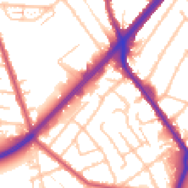
Daytime· 07:00 – 23:00
54.4dB

Night-time· 23:00 – 07:00
45.6dB