20 Dagenham Road, Romford, RM7 0BT
About 20 Dagenham Road
20 Dagenham Road is a two-bedroom semi-detached house in Romford (RM7 0BT). It has a recorded floor area of 60 m² (around 646 sq ft), construction records dating it to 1930-1949 and council tax band C. The latest certificate (March 2020) shows a D (score 55), a step below the typical UK home. The recommended improvements would lift it to B (score 86), a 2-band jump. Other recorded features include a conservatory. Our model identifies extension potential, subject to local planning policy.
At 60 m² it sits well below the postcode median (107 m² across 4 EPCs), making it one of the more compact homes locally. Today's modelled estimate of £390,000 is 23.8% above the 2020 sale price. On a £-per-square-foot basis, the last sale (£488/sq ft) was about 111.3% above the typical sold price in the postcode. Sold October 2020 for £315,000. One historical planning record sits against the property in 2024.
What this property has
Inside
- Bedrooms2
- Bathrooms1
- CloakroomYes
- ConservatoryYes
Outside
- Private gardenSouth-facing
- ParkingOff street
Building
- Extension potentialPossible
Everything you need to know about 20 Dagenham Road
The true value, the hidden risks and the full sale history, in one report.
30-day money-back guarantee

The data behind every report


Energy performance
Recommended upgrades on file would lift this property by multiple EPC bands.
EPC Rating
Planning history
- Mar 2024OutbuildingAmendmentIn report
As built outbuilding
- Documents
- 6 docs on file
- Reference
- E0022.23
We flagged 1 thing worth checking at 20 Dagenham Road
Independent checks surfaced things a buyer would want to understand before offering. The report explains each one in full, with the underlying data and what to ask.
- Signs of HMO activity in the area
30-day money-back guarantee
Sales history & valuation
The latest sale landed in the post-pandemic price surge — useful context when reading the figure.
£390,000
Modelled from EPC, postcode comparables.
£315,000
Recorded with HM Land Registry.
Sales timeline
22 October 2020Most recent
£315,000
Median price across the last 5 sales in RM7 0BT: £250,000 (2024–1999).
Versus other Dagenham Road homes
20 Dagenham Road outperforms the street on price per m² by a wide margin.
Price per m²
£5,250
Street avg £3,868
Floor Area
60 m²
Street avg 106 m²
Habitable Rooms
3 rooms
Street avg 6 rooms
CO₂ Emissions
3.4 t/year
Street avg 4.4 t/year
Everything you need to know about 20 Dagenham Road
The true value, the hidden risks and the full sale history, in one report.
30-day money-back guarantee
The data behind every report
Similar properties nearby
1 Campion Close, Rush Green
RM7 0WX
1 Bluebell Close, Rush Green
RM7 0XN
1 Braithwaite Avenue
RM7 0DS
1 Fuchsia Close, Rush Green
RM7 0YZ
1 Foxglove Road, Rush Green
RM7 0YW
1 Croxford Way
RM7 0UT
1 Leonard Avenue
RM7 0UR
1 Camomile Road, Rush Green
RM7 0WW
The neighbourhood at a glance
Reported crime in the wider district is trending notably upward year-on-year.
Crime
7/mo
Rising year-on-year across the wider district.
Nearest stop
0.1 km
Crow Lane — bus stop.
Closest school
0.5 km
Concordia Academy. 38 schools nearby.
Go deeper on the local area
The full report breaks down crime, transport links, schools and air quality in depth.
Road noise across the postcode
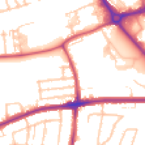
Daytime· 07:00 – 23:00
53.0dB

Night-time· 23:00 – 07:00
43.0dB