9 Newhall Drive, Romford, RM3 0EP
About 9 Newhall Drive
9 Newhall Drive is a semi-detached house in Romford (RM3 0EP). It has a recorded floor area of 84 m² (around 904 sq ft), construction records dating it to 1930-1949 and council tax band E. The latest certificate (August 2020) shows a C (score 69), just inside the C band. When first surveyed in October 2008 the rating was E, the property has climbed 2 bands since. Between certificates, roof efficiency went from Average to Good, window efficiency went from Average to Good and hot-water efficiency went from Average to Good. The recommended improvements would push it to B (score 88).
Untraded for 23 years, with the last transfer in March 2003. On energy efficiency it sits in the top 10% of properties in this postcode. Today's modelled estimate of £463,000 sits 145% above the 2003 sale of £189,000. On a £-per-square-foot basis, the last sale (£209/sq ft) was about 41.2% below the postcode norm.
Know exactly what you're buying at 9 Newhall Drive
Before you offer, see what the listing won't tell you, the true value, the red flags and the full history.
Already flagged here
Valuation
against the asking price
Risks
planning & flood
Sold prices
similar homes nearby
Trends
the local market
Energy performance
9 Newhall Drive ranks among the most efficient homes in the postcode for energy use.
EPC Rating
Property Improvements
Changes detected from historical EPC data
Heating controls upgraded for better temperature management
More low energy lighting installed
Loft insulation upgraded to recommended levels
More low energy lighting installed
Hot water efficiency improved
Window efficiency improved
Planning history
9 Newhall Drive has no planning applications on record.
Notable planning nearby
6applications of note in the surrounding area
We flagged 2 things worth checking at 9 Newhall Drive
Independent checks surfaced things a buyer would want to understand before offering. The report explains each one in full, with the underlying data and what to ask.
- Signs of HMO activity in the area
- Larger development activity nearby
30-day money-back guarantee
Sales history & valuation
9 Newhall Drive valuation sits well clear of the typical sold price in this postcode.
£463,000
Modelled from EPC, postcode comparables.
£189,000
Recorded with HM Land Registry.
Sales timeline
3 March 2003Most recent
£189,000
Median price across the last 5 sales in RM3 0EP: £430,000 (2022–2013).
Everything we know about 9 Newhall Drive, in one report
What it's really worth, what could be wrong, and the planning, sales and area data in full.
What we flagged
- Signs of HMO activity in the area
- Larger development activity nearby

Versus other Newhall Drive homes
9 Newhall Drive is notably below the street on price per m².
Price per m²
£2,250
Street avg £4,422
Floor Area
84 m²
Street avg 86 m²
Habitable Rooms
4 rooms
Street avg 4 rooms
CO₂ Emissions
3.2 t/year
Street avg 4.9 t/year
Similar properties nearby
The neighbourhood at a glance
Rail-style transport is unusually close for this postcode.
Crime
6/mo
Rising year-on-year across the wider district.
Nearest stop
0.2 km
Huntingdon Drive — bus stop.
Closest school
0.9 km
Broadford Primary School. 20 schools nearby.
Go deeper on the local area
The full report breaks down crime, transport links, schools and air quality in depth.
Road noise across the postcode
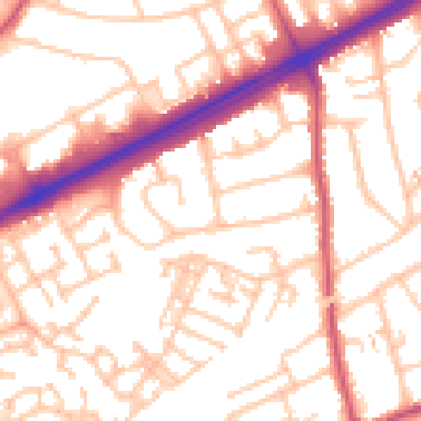
Daytime· 07:00 – 23:00
54.0dB

Night-time· 23:00 – 07:00
42.9dB