17 Stillwell Way, Faygate, Horsham, RH12 0BS
About 17 Stillwell Way
17 Stillwell Way is a detached house in Faygate, Horsham, Horsham (RH12 0BS). It has a recorded floor area of 103 m² (around 1109 sq ft). The latest certificate (June 2019) returns a B (score 84), comfortably above the UK average. The recommended improvements would push it to A (score 112).
Today's modelled estimate of £505,000 is 14.8% above the 2019 sale price. Last sale on file: £439,950 in June 2019.
Everything you need to know about 17 Stillwell Way
The true value, the hidden risks and the full sale history, in one report.
Pick your report · every report is £14.99
One time fee only - money back guarantee

The data behind every report


Energy performance
EPC Rating
Get a survey for this property
Level 2 HomeBuyer Report
We've checked 10 risk factors against the available data for this property and believe a Level 2 HomeBuyer Report could be a suitable option for you.
From £795 · Includes VAT
Planning history
17 Stillwell Way has no planning applications on record.
A planning report still maps activity across the surrounding area and reads this property's extension & conversion potential.
Sales history & valuation
£505,000
Modelled from EPC, postcode comparables.
£439,950
Recorded with HM Land Registry.
Sales timeline
27 June 2019Most recent
£439,950
Median price across the last 5 sales in RH12 0BS: £437,600 (2022–2022).
Nearby sales in RH12 0BS
47 Stillwell Way, Faygate, Horsham, RH12 0BS
Sold Oct 2022
£437,60045 Stillwell Way, Faygate, Horsham, RH12 0BS
Sold Oct 2022
£437,60041 Stillwell Way, Faygate, Horsham, RH12 0BS
Sold Aug 2022
£509,95043 Stillwell Way, Faygate, Horsham, RH12 0BS
Sold Jun 2022
£429,95039 Stillwell Way, Faygate, Horsham, RH12 0BS
Sold Mar 2022
£429,950
Versus other Stillwell Way homes
On years held, 17 Stillwell Way stands well clear of the street.
Price per m²
£4,271
Street avg £4,238
Floor Area
103 m²
Street avg 101 m²
CO₂ Emissions
1.6 t/year
Street avg 1.4 t/year
Years Held
7 years
Street avg 6 years
Everything you need to know about 17 Stillwell Way
The true value, the hidden risks and the full sale history, in one report.
Pick your report · every report is £14.99
One time fee only - money back guarantee
The data behind every report
Similar properties nearby
The neighbourhood at a glance
Daytime road noise here sits well below conversation level — a quiet pocket of the postcode.
Crime
2/mo
Steady year-on-year across the wider district.
Nearest stop
0.1 km
Kilnwood Vale School — bus stop.
Closest school
0.1 km
Kilnwood Vale Primary School. 11 schools nearby.
Go deeper on the local area
A Local Area report breaks down crime, transport links, schools and air quality in depth.
Road noise across the postcode
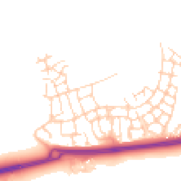
Daytime· 07:00 – 23:00
49.0dB

Night-time· 23:00 – 07:00
40.4dB