31 Causton Road, Beggarwood, Basingstoke, RG22 4QQ
About 31 Causton Road
31 Causton Road is a detached house in Beggarwood, Basingstoke, Basingstoke (RG22 4QQ). It has a recorded floor area of 58 m² (around 624 sq ft), construction records dating it to 1996-2002 and council tax band C. At 58 m² this is the 2nd smallest of 31 units on EPC record in the building, where floor areas span 54–164 m². The building's EPC ratings span C to B, with this unit at the bottom. The latest certificate (July 2017) shows a C (score 74).
At 58 m² it's 17.7% smaller than the typical home in the postcode (71 m² median across 30 EPCs).
Everything you need to know about 31 Causton Road
The true value, the hidden risks and the full sale history, in one report.
30-day money-back guarantee

The data behind every report


Energy performance
EPC Rating
Planning history
31 Causton Road has no planning applications on record.
Notable planning nearby
3applications of note in the surrounding area
We flagged 1 thing worth checking at 31 Causton Road
Independent checks surfaced things a buyer would want to understand before offering. The report explains each one in full, with the underlying data and what to ask.
- Larger development activity nearby
30-day money-back guarantee
Sales history & valuation
31 Causton Road has no Land Registry sales on file, suggesting it has stayed in the same hands since registration began.
£201,000
Modelled from EPC, postcode comparables.
No sales recorded with HM Land Registry
That can mean the property has never traded since the registry began publishing in 1995, was a new build that hasn't been registered yet, or is held in the same hands long-term.
Median price across the last 5 sales in RG22 4QQ: £380,000 (2025–2023).
Nearby sales in RG22 4QQ
7 Causton Road, Beggarwood, Basingstoke, RG22 4QQ
Sold Aug 2025
£375,00071 Causton Road, Beggarwood, Basingstoke, RG22 4QQ
Sold Mar 2025
£380,00067 Causton Road, Beggarwood, Basingstoke, RG22 4QQ
Sold Dec 2024
£402,00081 Causton Road, Beggarwood, Basingstoke, RG22 4QQ
Sold Mar 2024
£325,0003 Causton Road, Beggarwood, Basingstoke, RG22 4QQ
Sold Aug 2023
£400,000
Versus other Causton Road homes
31 Causton Road is notably below the street on epc rating.
EPC Rating
74 (C)
Street avg 79 (C)
Floor Area
58 m²
Street avg 61 m²
CO₂ Emissions
1.8 t/year
Street avg 1.5 t/year
Habitable Rooms
3 rooms
Street avg 3 rooms
Everything you need to know about 31 Causton Road
The true value, the hidden risks and the full sale history, in one report.
30-day money-back guarantee
The data behind every report
Similar properties nearby
The neighbourhood at a glance
Crime
7/mo
Steady year-on-year across the wider district.
Nearest stop
0.2 km
Wedderburn Avenue — bus stop.
Closest school
0.8 km
St Mark's Church of England Primary School. 11 schools nearby.
Go deeper on the local area
The full report breaks down crime, transport links, schools and air quality in depth.
Road noise across the postcode
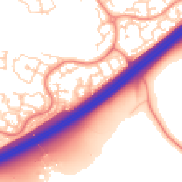
Daytime· 07:00 – 23:00
56.2dB

Night-time· 23:00 – 07:00
46.8dB