19 Arkle Avenue, Thatcham, RG19 3UA
About 19 Arkle Avenue
19 Arkle Avenue is a four-bedroom detached house in Thatcham (RG19 3UA). It has a recorded floor area of 103 m² (around 1109 sq ft), construction records dating it to 1967-1975 and council tax band E. The latest certificate (January 2016) shows a C (score 69), just inside the C band. The latest certificate is from January 2016, so improvements made since then won't be reflected. Other recorded features include a conservatory.
Across 1995–2020, sale prices on this property compounded at 6.1% per year. Today's modelled estimate of £469,000 is 26.8% above the 2020 sale price. On a £-per-square-foot basis, the last sale (£334/sq ft) was about 66.8% above the typical sold price in the postcode. Last sale on file: £370,000 in July 2020.
Know exactly what you're buying at 19 Arkle Avenue
Before you offer, see what the listing won't tell you, the true value, the red flags and the full history.
Already flagged here
Valuation
against the asking price
Risks
planning & flood
Sold prices
similar homes nearby
Trends
the local market
What this property has
Inside
- Bedrooms4
- Bathrooms2
- Dining roomYes
- Utility roomYes
- CloakroomYes
- EnsuiteYes
- ConservatoryYes
Outside
- ParkingOff road
Building
- RefurbishedYes
Energy performance
EPC Expired
This certificate is over 10 years old and is no longer valid.Expired 11 Jan 2026
EPC Rating
Planning history
19 Arkle Avenue has no planning applications on record.
Notable planning nearby
1applications of note in the surrounding area
We flagged 1 thing worth checking at 19 Arkle Avenue
Independent checks surfaced things a buyer would want to understand before offering. The report explains each one in full, with the underlying data and what to ask.
- Larger development activity nearby
30-day money-back guarantee
Sales history & valuation
19 Arkle Avenue has more than quadrupled in price since its earliest registered sale in 1995.
£469,000
Modelled from EPC, postcode comparables and a sale-price growth of 6.1% per year over 25 years.
£370,000
Growth on file: 6.1% per year over 25 years.
Sales timeline
30 July 2020Most recent
£370,000
+10.4%over 4 years10 May 2016
£335,000
+311.0%over 21 years3 February 1995
£81,500
Median price across the last 5 sales in RG19 3UA: £395,000 (2025–2020).
Nearby sales in RG19 3UA
Everything we know about 19 Arkle Avenue, in one report
What it's really worth, what could be wrong, and the planning, sales and area data in full.
What we flagged
- Larger development activity nearby

Versus other Arkle Avenue homes
On floor area, 19 Arkle Avenue stands well clear of the street.
Price per m²
£3,592
Street avg £2,999
Floor Area
103 m²
Street avg 96 m²
Habitable Rooms
6 rooms
Street avg 5 rooms
CO₂ Emissions
3.7 t/year
Street avg 3.8 t/year
Similar properties nearby
The neighbourhood at a glance
Crime
3/mo
Steady year-on-year across the wider district.
Nearest stop
0.2 km
Robertsfield — bus stop.
Closest school
0.7 km
Fir Tree Primary School and Nursery. 16 schools nearby.
Go deeper on the local area
The full report breaks down crime, transport links, schools and air quality in depth.
Road noise across the postcode
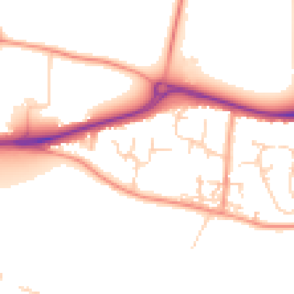
Daytime· 07:00 – 23:00
51.1dB

Night-time· 23:00 – 07:00
41.7dB