1 Fir Tree Cottages, Lower Way, Thatcham, RG19 3RP
About 1 Fir Tree Cottages
1 Fir Tree Cottages is a three-bedroom semi-detached house in Thatcham (RG19 3RP). It has a recorded floor area of 123 m² (around 1324 sq ft), construction records dating it to 1967-1975 and council tax band E. The latest certificate (November 2015) shows a C (score 71). When first surveyed in September 2012 the rating was E, the property has climbed 2 bands since. Between certificates, roof efficiency went from Very Poor to Average, window efficiency went from Average to Good and hot-water efficiency went from Average to Good. The recommended improvements would push it to B (score 85). The latest certificate is from November 2015, so improvements made since then won't be reflected.
Today's modelled estimate of £502,000 sits 79.3% above the 2013 sale of £280,000. On the market in April 2013 and unlisted since — roughly 13 years.
Know exactly what you're buying at 1 Fir Tree Cottages
Before you offer, see what the listing won't tell you, the true value, the red flags and the full history.
Already flagged here
Valuation
against the asking price
Risks
planning & flood
Sold prices
similar homes nearby
Trends
the local market
What this property has
Inside
- Bedrooms3
- Open-plan layoutYes
- Dining roomYes
- CloakroomYes
- EnsuiteYes
Outside
- Private gardenYes
Building
- RefurbishedYes
Energy performance
EPC Expired
This certificate is over 10 years old and is no longer valid.Expired 06 Nov 2025
EPC Rating
Property Improvements
Changes detected from historical EPC data
Heating controls upgraded for better temperature management
Hot water efficiency improved
Window efficiency improved
Roof insulation improved
More low energy lighting installed
Planning history
1 Fir Tree Cottages has no planning applications on record.
Notable planning nearby
1applications of note in the surrounding area
We flagged 1 thing worth checking at 1 Fir Tree Cottages
Independent checks surfaced things a buyer would want to understand before offering. The report explains each one in full, with the underlying data and what to ask.
- Larger development activity nearby
30-day money-back guarantee
Sales history & valuation
£502,000
Modelled from EPC, postcode comparables.
£280,000
Recorded with HM Land Registry.
Sales timeline
4 April 2013Most recent
£280,000
Median price across the last 3 sales in RG19 3RP: £265,000 (2010–2006).
Nearby sales in RG19 3RP
Everything we know about 1 Fir Tree Cottages, in one report
What it's really worth, what could be wrong, and the planning, sales and area data in full.
What we flagged
- Larger development activity nearby

Similar properties nearby
The neighbourhood at a glance
Daytime road noise here sits well below conversation level — a quiet pocket of the postcode.
Crime
3/mo
Steady year-on-year across the wider district.
Nearest stop
0.2 km
Paynesdown Road — bus stop.
Closest school
0.2 km
Parsons Down Infant School. 11 schools nearby.
Go deeper on the local area
The full report breaks down crime, transport links, schools and air quality in depth.
Road noise across the postcode
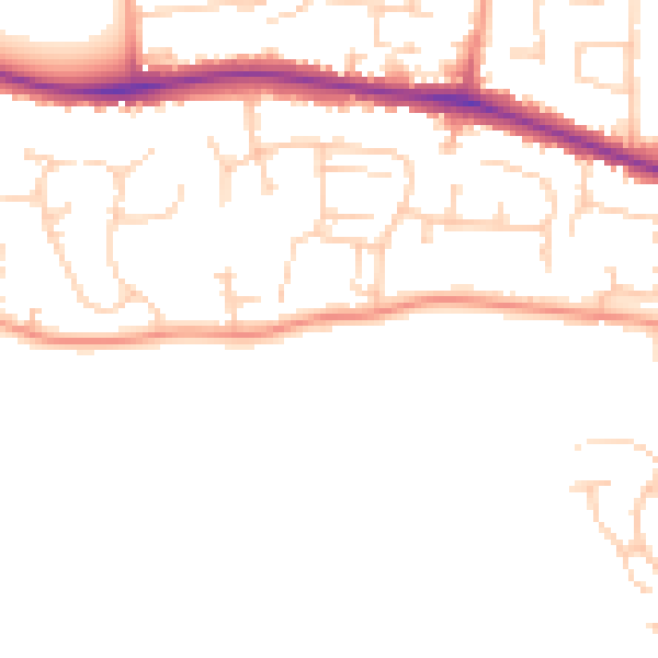
Daytime· 07:00 – 23:00
47.6dB

Night-time· 23:00 – 07:00
38.6dB