22 Fylingdales, Thatcham, RG19 3LB
About 22 Fylingdales
22 Fylingdales is a four-bedroom semi-detached house in Thatcham (RG19 3LB). It has a recorded floor area of 96 m² (around 1033 sq ft), construction records dating it to 1976-1982 and council tax band D. The latest certificate (September 2013) shows a D (score 67), on the cusp of jumping into the C band. The recommended improvements would lift it to B (score 85), a 2-band jump. The latest certificate is from September 2013, so improvements made since then won't be reflected. Our model identifies extension potential, subject to local planning policy. The home occupies a cul-de-sac position.
Across 1998–2013, sale prices on this property compounded at 7% per year. Today's modelled estimate of £427,000 sits 70.8% above the 2013 sale of £250,000. On a £-per-square-foot basis, the last sale (£242/sq ft) was about 25.4% above the typical sold price in the postcode. On the market in December 2013 and unlisted since — roughly 12 years.
Know exactly what you're buying at 22 Fylingdales
Before you offer, see what the listing won't tell you, the true value, the red flags and the full history.
Already flagged here
Valuation
against the asking price
Risks
planning & flood
Sold prices
similar homes nearby
Trends
the local market
What this property has
Inside
- Bedrooms4
- Bathrooms1
- Open-plan layoutYes
- Dining roomYes
- Utility roomYes
- CloakroomYes
- EnsuiteYes
Outside
- Private gardenSouth-facing
- DrivewayYes
- Cul-de-sacYes
Building
- Extension potentialPossible
Energy performance
Recommended upgrades on file would lift this property by multiple EPC bands.
EPC Expired
This certificate is over 10 years old and is no longer valid.Expired 13 Sept 2023
EPC Rating
Planning history
22 Fylingdales has no planning applications on record.
Notable planning nearby
1applications of note in the surrounding area
We flagged 1 thing worth checking at 22 Fylingdales
Independent checks surfaced things a buyer would want to understand before offering. The report explains each one in full, with the underlying data and what to ask.
- Larger development activity nearby
30-day money-back guarantee
Sales history & valuation
22 Fylingdales has more than doubled in price since the earliest registered sale in 1998.
£427,000
Modelled from EPC, postcode comparables and a sale-price growth of 7.0% per year over 16 years.
£250,000
Growth on file: 7.0% per year over 16 years.
Sales timeline
5 December 2013Most recent
£250,000
+186.5%over 15 years8 April 1998
£87,250
Median price across the last 5 sales in RG19 3LB: £401,000 (2025–2023).
Everything we know about 22 Fylingdales, in one report
What it's really worth, what could be wrong, and the planning, sales and area data in full.
What we flagged
- Larger development activity nearby

Versus other Fylingdales homes
22 Fylingdales outperforms the street on habitable rooms by a wide margin.
Price per m²
£2,604
Street avg £3,056
Floor Area
96 m²
Street avg 89 m²
Habitable Rooms
5 rooms
Street avg 4 rooms
CO₂ Emissions
3.4 t/year
Street avg 3.6 t/year
Similar properties nearby
The neighbourhood at a glance
Daytime road noise here sits well below conversation level — a quiet pocket of the postcode.
Crime
3/mo
Steady year-on-year across the wider district.
Nearest stop
0.2 km
Glebelands — bus stop.
Closest school
0.7 km
Parsons Down Infant School. 9 schools nearby.
Go deeper on the local area
The full report breaks down crime, transport links, schools and air quality in depth.
Road noise across the postcode
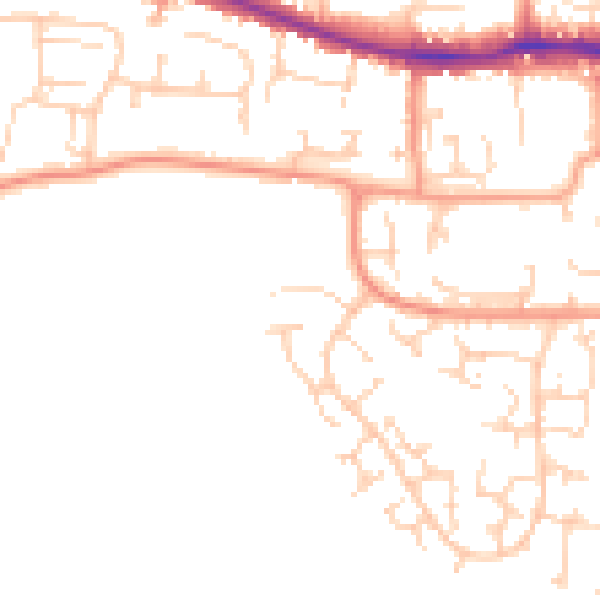
Daytime· 07:00 – 23:00
48.0dB

Night-time· 23:00 – 07:00
38.2dB