Tace House 4a, Flat 4, High Street, Thatcham, RG19 3JD
About Tace House 4a
Tace House 4a is a semi-detached house in Thatcham (RG19 3JD). It has a recorded floor area of 46 m² (around 495 sq ft) and construction records dating it to 2023. At 46 m² this is the 2nd smallest of 5 units on EPC record in Tace House 4a, where floor areas span 37–63 m². The latest certificate (June 2023) shows a C (score 79), near the top of the C band.
At 46 m² it sits well below the postcode median (69 m² across 16 EPCs), making it one of the more compact homes locally. On a £-per-square-foot basis, the last sale (£359/sq ft) was about 67.6% above the typical sold price in the postcode. Sold March 2023 for £178,000.
Know exactly what you're buying at Tace House 4a
Before you offer, see what the listing won't tell you, the true value, the red flags and the full history.
Already flagged here
Valuation
against the asking price
Risks
planning & flood
Sold prices
similar homes nearby
Trends
the local market
Energy performance
Tace House 4a's carbon output is low for the local stock.
EPC Rating
Planning history
Tace House 4a has no planning applications on record.
Notable planning nearby
1applications of note in the surrounding area
We flagged 1 thing worth checking at Tace House 4a
Independent checks surfaced things a buyer would want to understand before offering. The report explains each one in full, with the underlying data and what to ask.
- Larger development activity nearby
30-day money-back guarantee
Sales history & valuation
£189,000
Modelled from EPC, postcode comparables.
£178,000
Recorded with HM Land Registry.
Sales timeline
27 March 2023Most recent
£178,000
Median price across the last 5 sales in RG19 3JD: £215,000 (2024–2016).
Nearby sales in RG19 3JD
Everything we know about Tace House 4a, in one report
What it's really worth, what could be wrong, and the planning, sales and area data in full.
What we flagged
- Larger development activity nearby

Versus other High Street homes
Tace House 4a outperforms the street on epc rating by a wide margin.
Price per m²
£3,870
Street avg £2,262
Floor Area
46 m²
Street avg 64 m²
CO₂ Emissions
1.1 t/year
Street avg 4.1 t/year
Years Held
3 years
Street avg 10 years
Similar properties nearby
Brunel House, Flat 12, Pound Lane
RG19 3SU
Brunel House, Flat 5, Pound Lane
RG19 3SU
Brunel House, Flat 9, Pound Lane
RG19 3SU
Brunel House, Flat 7, Pound Lane
RG19 3SU
Crown House, Flat 3, 36 High Street
RG19 3JH
Brunel House, Flat 4, Pound Lane
RG19 3SU
Brunel House, Flat 15, Pound Lane
RG19 3SU
Elizabeth House, Flat 1, 29 High Street
RG19 3JG
The neighbourhood at a glance
Crime
3/mo
Steady year-on-year across the wider district.
Nearest stop
0.1 km
Thatcham Broadway — bus stop.
Closest school
0.4 km
Thatcham Park CofE Primary. 11 schools nearby.
Go deeper on the local area
The full report breaks down crime, transport links, schools and air quality in depth.
Road noise across the postcode
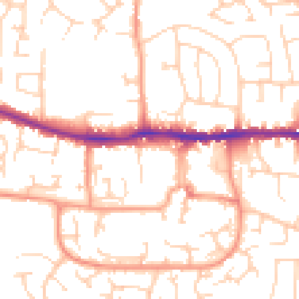
Daytime· 07:00 – 23:00
51.5dB

Night-time· 23:00 – 07:00
39.8dB