2 Southdown Road, Benham Hill, Thatcham, RG19 3AP
About 2 Southdown Road
2 Southdown Road is a three-bedroom semi-detached house in Benham Hill, Thatcham, Thatcham (RG19 3AP). It has a recorded floor area of 122 m² (around 1313 sq ft), construction records dating it to 1930-1949 and council tax band D. The latest certificate (December 2008) shows an E (score 53), well below the UK norm with real room to improve. The recommended improvements would lift it to C (score 75), a 2-band jump. The latest certificate is from December 2008, so improvements made since then won't be reflected.
Untraded for 17 years, with the last transfer in March 2009. That sale fell during the post-crash dip, which often skews comparisons against later neighbouring sales. At 122 m² the property is well over the postcode median (91 m² across 4 EPCs), placing it in the larger end of the local stock. On energy efficiency it sits in the bottom 10% of properties in this postcode — significant headroom for improvement. Today's modelled estimate of £387,000 sits 88.8% above the 2009 sale of £205,000. On a £-per-square-foot basis, the last sale (£156/sq ft) was about 38.6% below the postcode norm.
Know exactly what you're buying at 2 Southdown Road
Before you offer, see what the listing won't tell you, the true value, the red flags and the full history.
Already flagged here
Valuation
against the asking price
Risks
planning & flood
Sold prices
similar homes nearby
Trends
the local market
What this property has
Inside
- Bedrooms3
Outside
- Private gardenYes
- GarageDouble
Building
- RefurbishedYes
Energy performance
2 Southdown Road sits at the bottom of the postcode for energy efficiency — meaningful headroom to improve.
EPC Expired
This certificate is over 10 years old and is no longer valid.Expired 21 Dec 2018
EPC Rating
Planning history
2 Southdown Road has no planning applications on record.
Notable planning nearby
1applications of note in the surrounding area
We flagged 1 thing worth checking at 2 Southdown Road
Independent checks surfaced things a buyer would want to understand before offering. The report explains each one in full, with the underlying data and what to ask.
- Larger development activity nearby
30-day money-back guarantee
Sales history & valuation
The latest sale fell during the post-2008 dip, often a low-water mark in price comparisons.
£387,000
Modelled from EPC, postcode comparables.
£205,000
Recorded with HM Land Registry.
Sales timeline
27 March 2009Most recent
£205,000
Median price across the last 5 sales in RG19 3AP: £300,000 (2020–2013).
Nearby sales in RG19 3AP
Everything we know about 2 Southdown Road, in one report
What it's really worth, what could be wrong, and the planning, sales and area data in full.
What we flagged
- Larger development activity nearby

Versus other Southdown Road homes
On price per m², 2 Southdown Road runs well behind the street norm.
Price per m²
£1,681
Street avg £3,528
Floor Area
122 m²
Street avg 92 m²
Habitable Rooms
5 rooms
Street avg 5 rooms
CO₂ Emissions
6.8 t/year
Street avg 3.8 t/year
Similar properties nearby
The neighbourhood at a glance
Crime
3/mo
Steady year-on-year across the wider district.
Nearest stop
0.1 km
Southdown Road — bus stop.
Closest school
0.5 km
Fir Tree Primary School and Nursery. 17 schools nearby.
Go deeper on the local area
The full report breaks down crime, transport links, schools and air quality in depth.
Road noise across the postcode
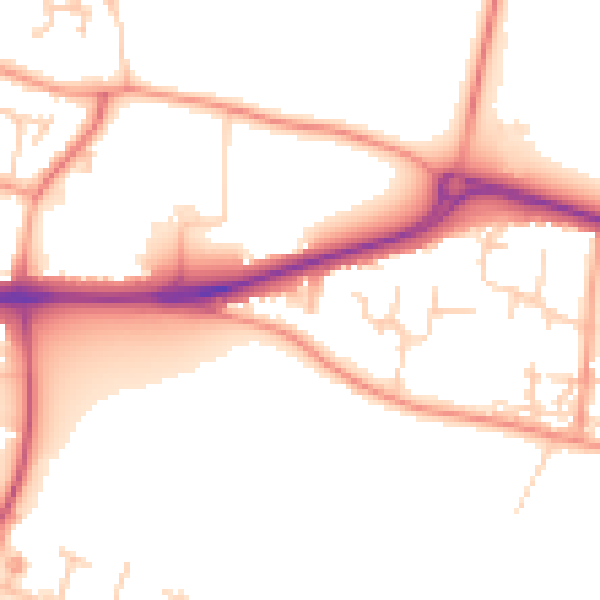
Daytime· 07:00 – 23:00
52.3dB

Night-time· 23:00 – 07:00
42.9dB