31 Ashwood Drive, Newbury, RG14 2PN
About 31 Ashwood Drive
31 Ashwood Drive is a three-bedroom semi-detached house in Newbury (RG14 2PN). It has a recorded floor area of 99 m² (around 1066 sq ft), construction records dating it to 1967-1975 and council tax band C. The latest certificate (August 2019) shows a D (score 55), a step below the typical UK home. The recommended improvements would push it to C (score 79).
Today's modelled estimate of £376,000 is 25.3% above the 2019 sale price. On a £-per-square-foot basis, the last sale (£282/sq ft) was about 78.4% above the typical sold price in the postcode. Last sale on file: £300,000 in November 2019.
Know exactly what you're buying at 31 Ashwood Drive
Before you offer, see what the listing won't tell you, the true value, the red flags and the full history.
Already flagged here
Valuation
against the asking price
Risks
planning & flood
Sold prices
similar homes nearby
Trends
the local market
What this property has
Inside
- Bedrooms3
- Bathrooms1
- CloakroomYes
- StudyYes
Outside
- Private gardenSouth-facing
- GarageIntegral
Building
- Heating systemGas
- RefurbishedYes
Energy performance
EPC Rating
Planning history
31 Ashwood Drive has no planning applications on record.
Notable planning nearby
2applications of note in the surrounding area
We flagged 1 thing worth checking at 31 Ashwood Drive
Independent checks surfaced things a buyer would want to understand before offering. The report explains each one in full, with the underlying data and what to ask.
- Larger development activity nearby
30-day money-back guarantee
Sales history & valuation
31 Ashwood Drive valuation sits well clear of the typical sold price in this postcode.
£376,000
Modelled from EPC, postcode comparables.
£300,000
Recorded with HM Land Registry.
Sales timeline
8 November 2019Most recent
£300,000
Median price across the last 5 sales in RG14 2PN: £340,000 (2024–2018).
Nearby sales in RG14 2PN
Everything we know about 31 Ashwood Drive, in one report
What it's really worth, what could be wrong, and the planning, sales and area data in full.
What we flagged
- Larger development activity nearby

Versus other Ashwood Drive homes
31 Ashwood Drive is notably below the street on epc rating.
Price per m²
£3,030
Street avg £2,835
Floor Area
99 m²
Street avg 99 m²
Habitable Rooms
5 rooms
Street avg 5 rooms
CO₂ Emissions
5.5 t/year
Street avg 4.2 t/year
Similar properties nearby
1 Ashwood Drive
RG14 2PN
1 Claremont Crescent
RG14 2FF
1 Cromwell Road
RG14 2HP
1 Clayhill Crescent
RG14 2NP
1 Coach House Mews, Donnington Park, Donnington
RG14 2EP
1 Desborough Close
RG14 2RN
1 Alexandra Cottages, Castle Lane, Donnington
RG14 2JS
1 Ascott Way
RG14 2FH
The neighbourhood at a glance
Crime
12/mo
Falling year-on-year across the wider district.
Nearest stop
0.1 km
Hambridge Road — bus stop.
Closest school
0.2 km
Fir Tree Primary School and Nursery. 15 schools nearby.
Go deeper on the local area
The full report breaks down crime, transport links, schools and air quality in depth.
Road noise across the postcode
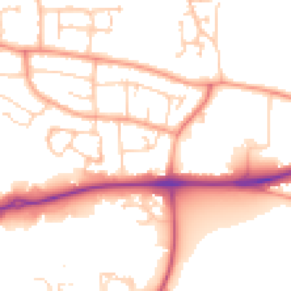
Daytime· 07:00 – 23:00
52.7dB

Night-time· 23:00 – 07:00
43.2dB