3 Marshalls Court, Speen, Newbury, RG14 1RY
About 3 Marshalls Court
3 Marshalls Court is a property in Speen, Newbury, Newbury (RG14 1RY). It has council tax band C.
It hasn't traded since October 1998, a hold of 28 years that's notably long for the area. Only one transfer is on record with HM Land Registry, suggesting it has stayed in the same hands for a long time.
Know exactly what you're buying at 3 Marshalls Court
Before you offer, see what the listing won't tell you, the true value, the red flags and the full history.
Already flagged here
Valuation
against the asking price
Risks
planning & flood
Sold prices
similar homes nearby
Trends
the local market
Energy performance
No EPC on record
This property doesn't have an Energy Performance Certificate yet. An EPC is required to sell or let — and unlocks our automated valuation.
Planning history
3 Marshalls Court has no planning applications on record.
Notable planning nearby
8applications of note in the surrounding area
We flagged 2 things worth checking at 3 Marshalls Court
Independent checks surfaced things a buyer would want to understand before offering. The report explains each one in full, with the underlying data and what to ask.
- Signs of HMO activity in the area
- Larger development activity nearby
30-day money-back guarantee
Sales history & valuation
3 Marshalls Court has been held in the same hands since before 2000.
£85,000
Recorded with HM Land Registry.
Sales timeline
19 October 1998Most recent
£85,000
Median price across the last 5 sales in RG14 1RY: £210,000 (2025–2024).
Nearby sales in RG14 1RY
11 Marshalls Court, Speen, Newbury, RG14 1RY
Sold Aug 2025
£190,00024 Marshalls Court, Speen, Newbury, RG14 1RY
Sold Nov 2024
£210,00019 Marshalls Court, Speen, Newbury, RG14 1RY
Sold Jul 2024
£235,0008 Marshalls Court, Speen, Newbury, RG14 1RY
Sold Mar 2024
£210,00012 Marshalls Court, Speen, Newbury, RG14 1RY
Sold Mar 2024
£230,000
Everything we know about 3 Marshalls Court, in one report
What it's really worth, what could be wrong, and the planning, sales and area data in full.
What we flagged
- Signs of HMO activity in the area
- Larger development activity nearby

Similar properties nearby
1 2, Northbrook Place
RG14 1DQ
1 3, Flat A, The Broadway
RG14 1AS
1 3, Flat B, The Broadway
RG14 1AS
1 Almond Avenue
RG14 1LX
1 Amberley Close
RG14 1PZ
1 Angel Court, Pelican Lane
RG14 1NQ
1 Avonbank Lodge, West Street
RG14 1EZ
1 Battle Close, Speen
RG14 1QU
The neighbourhood at a glance
Crime
12/mo
Falling year-on-year across the wider district.
Nearest stop
0.1 km
Hare and Hounds — bus stop.
Closest school
0.7 km
Robert Sandilands Primary School and Nursery. 13 schools nearby.
Go deeper on the local area
The full report breaks down crime, transport links, schools and air quality in depth.
Road noise across the postcode
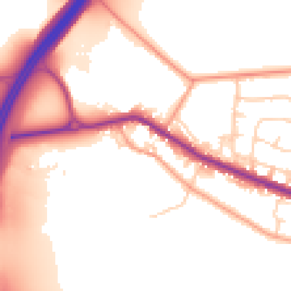
Daytime· 07:00 – 23:00
54.1dB

Night-time· 23:00 – 07:00
47.0dB