9 Byrom Street, Southport, PR9 7AD
About 9 Byrom Street
9 Byrom Street is a three-bedroom semi-detached house in Southport (PR9 7AD). It has a recorded floor area of 97 m² (around 1044 sq ft), construction records dating it to 1900-1929 and council tax band B. The latest certificate (July 2015) shows a D (score 59), a step below the typical UK home. The recommended improvements would lift it to B (score 82), a 2-band jump. The latest certificate is from July 2015, so improvements made since then won't be reflected.
Last changed hands 10 years ago, in December 2016. Today's modelled estimate of £186,000 is 37.8% above the 2016 sale price.
What this property has
Inside
- Bedrooms3
- Bathrooms1
- Dining roomYes
- Utility roomYes
- CloakroomYes
- EnsuiteYes
Outside
- Private gardenFront and rear
- ParkingOff road
Everything you need to know about 9 Byrom Street
The true value, the hidden risks and the full sale history, in one report.
Pick your report · from £14.99
One time fee only - money back guarantee

The data behind every report







Energy performance
Recommended upgrades on file would lift this property by multiple EPC bands.
EPC Expired
This certificate is over 10 years old and is no longer valid.Expired 28 Jul 2025
EPC Rating
Certificate validity
Expired on 28 July 2025

Get a survey for this property
Level 3 Building Survey
Because the property was built before 1919, we believe a Level 3 building survey should be considered.
From £820 · Includes VAT
Planning history
9 Byrom Street has no planning applications on record.
But the area is active
1 notable application nearby — larger schemes and conversions that could reshape the street. The report maps them all.
Sales history & valuation
9 Byrom Street's sale-price growth has lagged the wider UK trajectory across its history on file.
£186,000
Modelled from EPC, postcode comparables and a sale-price growth of 0.2% per year over 12 years.
£135,000
Growth on file: 0.2% per year over 12 years.
Sales timeline
2 December 2016Most recent
£135,000
+2.3%over 12 years1 August 2004
£132,000
Median price across the last 5 sales in PR9 7AD: £162,000 (2025–2024).
Nearby sales in PR9 7AD
Versus other Byrom Street homes
Floor Area for 9 Byrom Street runs comfortably ahead of the street norm.
Price per m²
£1,392
Street avg £1,460
Floor Area
97 m²
Street avg 90 m²
Habitable Rooms
5 rooms
Street avg 5 rooms
CO₂ Emissions
5.0 t/year
Street avg 5.5 t/year
Everything you need to know about 9 Byrom Street
The true value, the hidden risks and the full sale history, in one report.
Pick your report · from £14.99
One time fee only - money back guarantee
The data behind every report
Similar properties nearby
1 Cobden Road
PR9 7TL
1 Church Mews, Scott Street
PR9 7QJ
1 Carisbrooke Drive
PR9 7JD
1 Church Close
PR9 7QE
1 Derwent Avenue
PR9 7PX
1 Churchgate Mews, Bibby Road
PR9 7PS
1 Beech Grove
PR9 7EE
1 Bright Street
PR9 7AB
The neighbourhood at a glance
Rail-style transport is unusually close for this postcode.
Crime
250/mo
Steady year-on-year across the wider district.
Nearest stop
0.2 km
Wennington Road — bus stop.
Closest school
0.6 km
Norwood Primary School. 15 schools nearby.
Go deeper on the local area
A Local Area report breaks down crime, transport links, schools and air quality in depth.
Road noise across the postcode
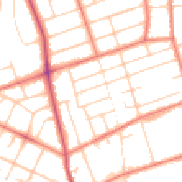
Daytime· 07:00 – 23:00
50.6dB
Night-time· 23:00 – 07:00
39.9dB