5 Ayr Close, Southport, PR8 5PA
About 5 Ayr Close
5 Ayr Close is a semi-detached house in Southport (PR8 5PA). It has a recorded floor area of 73 m² (around 786 sq ft), construction records dating it to 1976-1982 and council tax band B. The latest certificate (May 2021) shows a C (score 74). The rating has held steady at C across 2 certificates since July 2010. Between certificates, window efficiency dropped from Good to Average. The recommended improvements would push it to B (score 89).
It hasn't traded since February 2003, a hold of 23 years that's notably long for the area. Across 1997–2003, sale prices on this property compounded at 10.9% per year. Today's modelled estimate of £201,000 sits 123.3% above the 2003 sale of £90,000. On a £-per-square-foot basis, the last sale (£115/sq ft) was about 36% below the postcode norm. Its energy rating outperforms most of the postcode (better than 75% of similar EPCs).
Everything you need to know about 5 Ayr Close
The true value, the hidden risks and the full sale history, in one report.
Pick your report · every report is £14.99
One time fee only - money back guarantee

The data behind every report


Energy performance
EPC Rating
Property Improvements
Changes detected from historical EPC data
Heating controls upgraded for better temperature management
Get a survey for this property
Level 2 HomeBuyer Report
We've checked 10 risk factors against the available data for this property and believe a Level 2 HomeBuyer Report could be a suitable option for you.
From £545 · Includes VAT
Planning history
5 Ayr Close has no planning applications on record.
But the area is active
2 notable applications nearby — larger schemes and conversions that could reshape the street. The report maps them all.
Sales history & valuation
5 Ayr Close's modelled value sits at over four times its earliest registered sale price (1997).
£201,000
Modelled from EPC, postcode comparables and a sale-price growth of 10.9% per year over 6 years.
£90,000
Growth on file: 10.9% per year over 6 years.
Sales timeline
6 February 2003Most recent
£90,000
+80.0%over 5 years5 June 1997
£50,000
Median price across the last 5 sales in PR8 5PA: £170,000 (2024–2018).
Versus other Ayr Close homes
5 Ayr Close is notably below the street on price per m².
Price per m²
£1,233
Street avg £2,243
Floor Area
73 m²
Street avg 77 m²
Habitable Rooms
5 rooms
Street avg 5 rooms
CO₂ Emissions
2.3 t/year
Street avg 3.5 t/year
Everything you need to know about 5 Ayr Close
The true value, the hidden risks and the full sale history, in one report.
Pick your report · every report is £14.99
One time fee only - money back guarantee
The data behind every report
Similar properties nearby
The neighbourhood at a glance
Crime
4/mo
Steady year-on-year across the wider district.
Nearest stop
0.1 km
Aintree Crescent — bus stop.
Closest school
0.3 km
Kew Woods Primary School. 12 schools nearby.
Go deeper on the local area
A Local Area report breaks down crime, transport links, schools and air quality in depth.
Road noise across the postcode
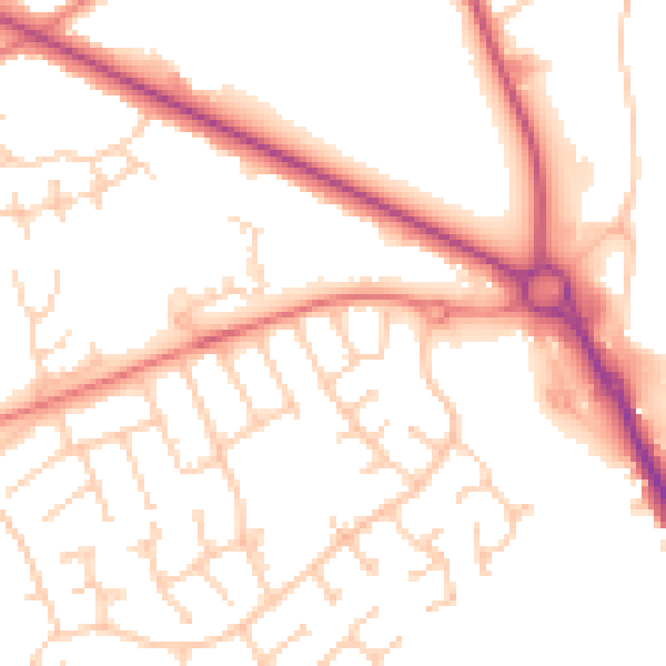
Daytime· 07:00 – 23:00
52.0dB

Night-time· 23:00 – 07:00
42.2dB