Douglas Court, Flat 4, Burnley Road, Southport, PR8 3LR
About Douglas Court
Douglas Court is a detached house in Southport (PR8 3LR). It has a recorded floor area of 52 m² (around 560 sq ft) and construction records dating it to 1983-1990. At 52 m² this is the 2nd smallest of 10 units on EPC record in Douglas Court, where floor areas span 50–144 m². The building's EPC ratings span E to C, with this unit at the top. The latest certificate (November 2024) shows a C (score 69), just inside the C band.
At 52 m² it sits well below the postcode median (104 m² across 68 EPCs), making it one of the more compact homes locally. Its energy rating outperforms most of the postcode (better than 72% of similar EPCs).
Everything you need to know about Douglas Court
The true value, the hidden risks and the full sale history, in one report.
Pick your report · every report is £14.99
One time fee only - money back guarantee

The data behind every report


Energy performance
EPC Rating
Get a survey for this property
Level 2 HomeBuyer Report
We've checked 10 risk factors against the available data for this property and believe a Level 2 HomeBuyer Report could be a suitable option for you.
From £495 · Includes VAT
Planning history
Douglas Court has no planning applications on record.
A planning report still maps activity across the surrounding area and reads this property's extension & conversion potential.
Sales history & valuation
Douglas Court has no Land Registry sales on file, suggesting it has stayed in the same hands since registration began.
£153,000
Modelled from EPC, postcode comparables.
No sales recorded with HM Land Registry
That can mean the property has never traded since the registry began publishing in 1995, was a new build that hasn't been registered yet, or is held in the same hands long-term.
Median price across the last 5 sales in PR8 3LR: £245,000 (2025–2023).
Nearby sales in PR8 3LR
Versus other Burnley Road homes
Douglas Court is notably below the street on epc rating.
EPC Rating
69 (C)
Street avg 73 (C)
Floor Area
52 m²
Street avg 63 m²
CO₂ Emissions
2.1 t/year
Street avg 2.1 t/year
Habitable Rooms
3 rooms
Street avg 3 rooms
Everything you need to know about Douglas Court
The true value, the hidden risks and the full sale history, in one report.
Pick your report · every report is £14.99
One time fee only - money back guarantee
The data behind every report
Similar properties nearby
Alma Court, Flat 1, Carr Lane
PR8 3EE
Charlotte Court 2a, Flat 14, Mill Road
PR8 3BF
Charlotte Court 2a, Flat 18, Mill Road
PR8 3BF
Charlotte Court 2a, Flat 1, Mill Road
PR8 3BF
Charlotte Court 2a, Flat 10, Mill Road
PR8 3BF
Charlotte Court 2a, Flat 15, Mill Road
PR8 3BF
Alma Court, Flat 5, Carr Lane
PR8 3EE
Charlotte Court 2a, Flat 16, Mill Road
PR8 3BF
The neighbourhood at a glance
Rail-style transport is unusually close for this postcode.
Crime
4/mo
Steady year-on-year across the wider district.
Nearest stop
0.2 km
Fairfield Road — bus stop.
Closest school
0.6 km
Ainsdale St John's Church of England Primary School. 8 schools nearby.
Go deeper on the local area
A Local Area report breaks down crime, transport links, schools and air quality in depth.
Road noise across the postcode
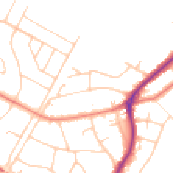
Daytime· 07:00 – 23:00
48.2dB

Night-time· 23:00 – 07:00
38.9dB