24 Elm Park Drive, Ainsdale, Southport, PR8 3HA
About 24 Elm Park Drive
24 Elm Park Drive is a property in Ainsdale, Southport, Southport (PR8 3HA). It has council tax band D.
Held since November 2001 — that's 25 years off the open market, well above the local norm.
Everything you need to know about 24 Elm Park Drive
The true value, the hidden risks and the full sale history, in one report.
Pick your report · every report is £14.99
One time fee only - money back guarantee

The data behind every report


Energy performance
No EPC on record
This property doesn't have an Energy Performance Certificate yet. An EPC is required to sell or let — and unlocks our automated valuation.
Get a survey for this property
Level 2 HomeBuyer Report
We've checked 10 risk factors against the available data for this property and believe a Level 2 HomeBuyer Report could be a suitable option for you.
Planning history
24 Elm Park Drive has no planning applications on record.
A planning report still maps activity across the surrounding area and reads this property's extension & conversion potential.
Sales history & valuation
£99,500
Recorded with HM Land Registry.
Sales timeline
15 November 2001Most recent
£99,500
Median price across the last 5 sales in PR8 3HA: £320,000 (2025–2019).
Nearby sales in PR8 3HA
2 Elm Park Drive, Ainsdale, Southport, PR8 3HA
Sold Apr 2025
£305,00018 Elm Park Drive, Ainsdale, Southport, PR8 3HA
Sold Sept 2023
£340,00015 Elm Park Drive, Ainsdale, Southport, PR8 3HA
Sold Jun 2022
£320,00011 Elm Park Drive, Ainsdale, Southport, PR8 3HA
Sold Oct 2021
£330,0006 Elm Park Drive, Ainsdale, Southport, PR8 3HA
Sold Sept 2019
£202,000
Everything you need to know about 24 Elm Park Drive
The true value, the hidden risks and the full sale history, in one report.
Pick your report · every report is £14.99
One time fee only - money back guarantee
The data behind every report
Similar properties nearby
The neighbourhood at a glance
Rail-style transport is unusually close for this postcode.
Crime
4/mo
Steady year-on-year across the wider district.
Nearest stop
0.2 km
George Drive — bus stop.
Closest school
0.5 km
Ainsdale St John's Church of England Primary School. 8 schools nearby.
Go deeper on the local area
A Local Area report breaks down crime, transport links, schools and air quality in depth.
Road noise across the postcode
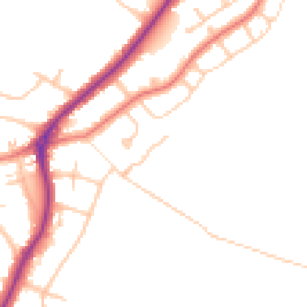
Daytime· 07:00 – 23:00
46.8dB

Night-time· 23:00 – 07:00
39.1dB