19 Barford Close, Southport, PR8 2RS
About 19 Barford Close
19 Barford Close is a four-bedroom detached house in Southport (PR8 2RS). It has a recorded floor area of 125 m² (around 1345 sq ft), construction records dating it to 1950-1966 and council tax band E. The latest certificate (September 2020) shows a D (score 63), on the cusp of jumping into the C band. The recommended improvements would push it to C (score 78).
Across 1996–2021, sale prices on this property compounded at 4.9% per year. Today's modelled estimate of £403,000 is 25.9% above the 2021 sale price. On a £-per-square-foot basis, the last sale (£238/sq ft) was about 16.9% above the typical sold price in the postcode. Most recent transfer: June 2021 at £320,000. That sale was during the post-pandemic price surge, when transactions cleared materially above pre-2020 trend.
What this property has
Inside
- Bedrooms4
- Bathrooms2
- Dining roomYes
Outside
- Private gardenSouth-facing
- GarageIntegral
Building
- Heating systemGas
Everything you need to know about 19 Barford Close
The true value, the hidden risks and the full sale history, in one report.
Pick your report · every report is £14.99
One time fee only - money back guarantee

The data behind every report


Energy performance
EPC Rating
Get a survey for this property
Level 3 Building Survey
Because the property has been extended more than once, we believe a Level 3 building survey should be considered.
From £1,020 · Includes VAT
Planning history
19 Barford Close has no planning applications on record.
But the area is active
2 notable applications nearby — larger schemes and conversions that could reshape the street. The report maps them all.
Sales history & valuation
19 Barford Close has more than tripled in price since its earliest registered sale in 1996.
£403,000
Modelled from EPC, postcode comparables and a sale-price growth of 4.9% per year over 25 years.
£320,000
Growth on file: 4.9% per year over 25 years.
Sales timeline
23 June 2021Most recent
£320,000
+226.5%over 24 years7 November 1996
£98,000
Median price across the last 5 sales in PR8 2RS: £317,500 (2024–2016).
Nearby sales in PR8 2RS
Versus other Barford Close homes
Habitable Rooms for 19 Barford Close lags the street by a wide margin.
Price per m²
£2,560
Street avg £1,926
Floor Area
125 m²
Street avg 136 m²
Habitable Rooms
5 rooms
Street avg 6 rooms
CO₂ Emissions
5.5 t/year
Street avg 6.0 t/year
Everything you need to know about 19 Barford Close
The true value, the hidden risks and the full sale history, in one report.
Pick your report · every report is £14.99
One time fee only - money back guarantee
The data behind every report
Similar properties nearby
1 Chandley Close
PR8 2SJ
1 Brinklow Close
PR8 2SL
1 Belvedere Road
PR8 2PA
1 Chase Close
PR8 2DG
1 Camberley Close
PR8 2PP
1 Cricket Path
PR8 2HJ
1 Castle Walk
PR8 2AR
1 Blandford Close
PR8 2DB
The neighbourhood at a glance
Rail-style transport is unusually close for this postcode.
Crime
4/mo
Steady year-on-year across the wider district.
Nearest stop
0.2 km
Chatsworth Road — bus stop.
Closest school
0.7 km
Shoreside Primary School. 7 schools nearby.
Go deeper on the local area
A Local Area report breaks down crime, transport links, schools and air quality in depth.
Road noise across the postcode
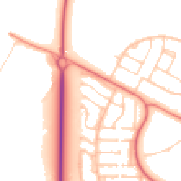
Daytime· 07:00 – 23:00
51.9dB

Night-time· 23:00 – 07:00
42.1dB