Mountwood Lodge, Flat 14, Shore Road, Ainsdale, Southport, PR8 2RB
About Mountwood Lodge
Mountwood Lodge is a two-bedroom detached house in Ainsdale, Southport, Southport (PR8 2RB). It has a recorded floor area of 68 m² (around 732 sq ft) and construction records dating it to 1983-1990. At 68 m² this is the 7th smallest of 16 units on EPC record in Mountwood Lodge, where floor areas span 62–80 m². The building's EPC ratings span D to B across 16 units on file. The latest certificate (August 2021) shows a C (score 71).
Today's modelled estimate of £164,000 is 30.2% above the 2022 sale price. Last sale on file: £126,000 in May 2022. That sale was during the post-pandemic price surge, when transactions cleared materially above pre-2020 trend.
What this property has
Inside
- Bedrooms2
- Bathrooms1
- EnsuiteYes
Outside
- Private gardenYes
Building
- RefurbishedYes
Everything you need to know about Mountwood Lodge
The true value, the hidden risks and the full sale history, in one report.
Pick your report · every report is £14.99
One time fee only - money back guarantee

The data behind every report


Energy performance
EPC Rating
Get a survey for this property
Level 2 HomeBuyer Report
We've checked 10 risk factors against the available data for this property and believe a Level 2 HomeBuyer Report could be a suitable option for you.
From £495 · Includes VAT
Planning history
Mountwood Lodge has no planning applications on record.
But the area is active
2 notable applications nearby — larger schemes and conversions that could reshape the street. The report maps them all.
Sales history & valuation
The latest sale landed in the post-pandemic price surge — useful context when reading the figure.
£164,000
Modelled from EPC, postcode comparables.
£126,000
Recorded with HM Land Registry.
Sales timeline
4 May 2022Most recent
£126,000
Median price across the last 5 sales in PR8 2RB: £175,000 (2024–2020).
Nearby sales in PR8 2RB
Longton Court, Flat 8, 2 Shore Road, Ainsdale, Southport, PR8 2RB
Sold May 2024
£175,0002a, Shore Road, Ainsdale, Southport, PR8 2RB
Sold May 2023
£437,000Longton Court, Flat 4, 2 Shore Road, Ainsdale, Southport, PR8 2RB
Sold Jul 2022
£167,500Longton Court, Flat 9, 2 Shore Road, Ainsdale, Southport, PR8 2RB
Sold Nov 2021
£185,000Longton Court, Flat 3, 2 Shore Road, Ainsdale, Southport, PR8 2RB
Sold Oct 2020
£168,000
Versus other Shore Road homes
On years held, Mountwood Lodge runs well behind the street norm.
Price per m²
£1,853
Street avg £1,736
Floor Area
68 m²
Street avg 70 m²
Habitable Rooms
4 rooms
Street avg 3 rooms
CO₂ Emissions
2.4 t/year
Street avg 2.4 t/year
Everything you need to know about Mountwood Lodge
The true value, the hidden risks and the full sale history, in one report.
Pick your report · every report is £14.99
One time fee only - money back guarantee
The data behind every report
Similar properties nearby
1a, Flat 1, Weld Road
PR8 2BX
11a, Flat 3, Aughton Road
PR8 2AF
11a, Flat 4, Aughton Road
PR8 2AF
21a, Flat 4, Gloucester Road
PR8 2AU
11a, Flat 2b, Aughton Road
PR8 2AF
21a, Flat 1, Gloucester Road
PR8 2AU
1a, Flat D, Westcliffe Road
PR8 2BW
11a, Flat 2, Castle Walk
PR8 2AR
The neighbourhood at a glance
Rail-style transport is unusually close for this postcode.
Crime
4/mo
Steady year-on-year across the wider district.
Nearest stop
0.1 km
Tudor Road — bus stop.
Closest school
0.8 km
Shoreside Primary School. 8 schools nearby.
Go deeper on the local area
A Local Area report breaks down crime, transport links, schools and air quality in depth.
Road noise across the postcode
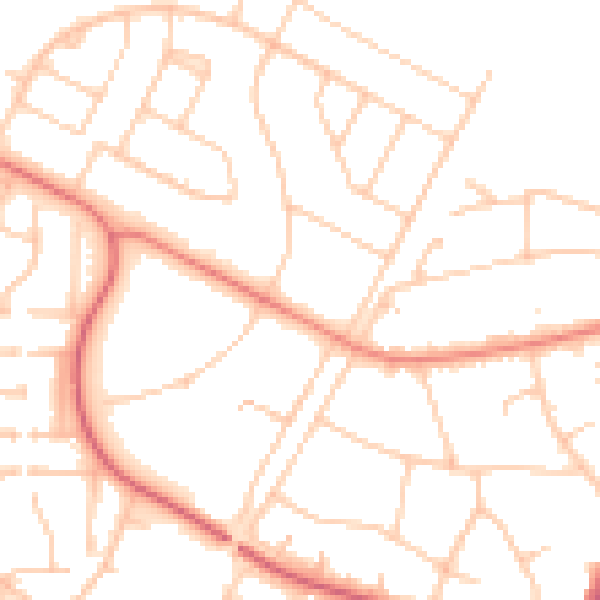
Daytime· 07:00 – 23:00
50.1dB

Night-time· 23:00 – 07:00
39.5dB