5 The Mews, St Andrews Place, Southport, PR8 1HR
About 5 The Mews
5 The Mews is a two-bedroom end-of-terrace house in Southport (PR8 1HR). It has a recorded floor area of 69 m² (around 743 sq ft) and council tax band A. The latest certificate (May 2016) shows a C (score 76), near the top of the C band. The recommended improvements would push it to B (score 89). The latest certificate is from May 2016, so improvements made since then won't be reflected.
Untraded for 24 years, with the last transfer in July 2002. Today's modelled estimate of £122,000 sits 306.7% above the 2002 sale of £30,000. 3 planning records sit against the property, 2 approved, 1 refused. Past consents include change of use to residential, meaningful when judging how the property has evolved. At 69 m² it's 16.9% smaller than the typical home in the postcode (83 m² median across 5 EPCs).
What this property has
Inside
- Bedrooms2
- Bathrooms1
Everything you need to know about 5 The Mews
The true value, the hidden risks and the full sale history, in one report.
Pick your report · every report is £14.99
One time fee only - money back guarantee

The data behind every report


Energy performance
EPC Expired
This certificate is over 10 years old and is no longer valid.Expired 23 May 2026
EPC Rating
Get a survey for this property
Level 2 HomeBuyer Report
We've checked 10 risk factors against the available data for this property and believe a Level 2 HomeBuyer Report could be a suitable option for you.
From £495 · Includes VAT
Planning history
3 applications on record at 5 The Mews, St Andrews Place, Southport, PR8 1HR
- Sept 2010ConversionAmendmentOutcome in report
conversion of existing commercial units into 5 two storey residential properties
- Documents
- 10 docs on file
- Reference
- S/2009/0799
- More recent applications — locked
- Change of UseAug 2011Decision
- Change of UseNov 2010Decision
Unlock 5 The Mews, St Andrews Place, Southport, PR8 1HR's full planning history
You're seeing the shape of it. The report has the substance.
- Every decision — granted, refused or withdrawn (3 on record)
- All 3 applications on this property in full, plus 4 notable nearby
- The 36 documents, officer reports & conditions
- What the pattern means for extending or converting here
One time fee only - money back guarantee
Sales history & valuation
5 The Mews's modelled value sits at over four times its earliest registered sale price (2002).
£122,000
Modelled from EPC, postcode comparables.
£30,000
Recorded with HM Land Registry.
Sales timeline
8 July 2002Most recent
£30,000
Versus other St Andrews Place homes
Floor Area for 5 The Mews lags the street by a wide margin.
EPC Rating
76 (C)
Street avg 77 (C)
Floor Area
69 m²
Street avg 88 m²
CO₂ Emissions
1.9 t/year
Street avg 2.2 t/year
Habitable Rooms
3 rooms
Street avg 4 rooms
Everything you need to know about 5 The Mews
The true value, the hidden risks and the full sale history, in one report.
Pick your report · every report is £14.99
One time fee only - money back guarantee
The data behind every report
Similar properties nearby
The neighbourhood at a glance
Rail-style transport is unusually close for this postcode.
Crime
4/mo
Steady year-on-year across the wider district.
Nearest stop
0.1 km
Part Street — bus stop.
Closest school
0.6 km
Southport Education Group. 13 schools nearby.
Go deeper on the local area
A Local Area report breaks down crime, transport links, schools and air quality in depth.
Road noise across the postcode
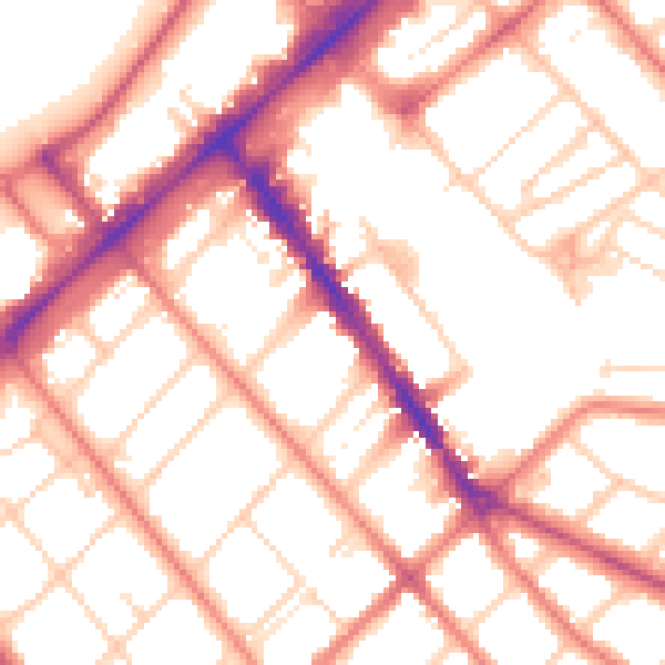
Daytime· 07:00 – 23:00
53.6dB

Night-time· 23:00 – 07:00
42.5dB