8 Highfield Close, Adlington, Chorley, PR6 9RL
About 8 Highfield Close
8 Highfield Close is a property in Adlington, Chorley, Chorley (PR6 9RL). It has council tax band F.
Untraded for 21 years, with the last transfer in October 2005.
Everything you need to know about 8 Highfield Close
The true value, the hidden risks and the full sale history, in one report.
Pick your report · every report is £14.99
One time fee only - money back guarantee

The data behind every report


Energy performance
No EPC on record
This property doesn't have an Energy Performance Certificate yet. An EPC is required to sell or let — and unlocks our automated valuation.
Get a survey for this property
Level 2 HomeBuyer Report
We've checked 10 risk factors against the available data for this property and believe a Level 2 HomeBuyer Report could be a suitable option for you.
Planning history
8 Highfield Close has no planning applications on record.
But the area is active
4 notable applications nearby — larger schemes and conversions that could reshape the street. The report maps them all.
Sales history & valuation
£313,500
Recorded with HM Land Registry.
Sales timeline
5 October 2005Most recent
£313,500
Median price across the last 5 sales in PR6 9RL: £225,000 (2023–2001).
Everything you need to know about 8 Highfield Close
The true value, the hidden risks and the full sale history, in one report.
Pick your report · every report is £14.99
One time fee only - money back guarantee
The data behind every report
Similar properties nearby
1 Coniston Avenue, Adlington
PR6 9QH
1 Brierfield Close, Adlington
PR6 9FU
1 Barn View, Adlington
PR6 9SJ
1 Bank Terrace, Coppice Lane, Heapey
PR6 9DA
1 Brentwood Road, Anderton
PR6 9PL
1 Barrow Nook Grove, Adlington
PR6 9FR
1 Chatsworth Court, Heath Charnock
PR6 9SA
1 Byre View, Adlington
PR6 9SD
The neighbourhood at a glance
Rail-style transport is unusually close for this postcode.
Crime
2/mo
Steady year-on-year across the wider district.
Nearest stop
0.2 km
Gabbot Street — bus stop.
Closest school
0.2 km
Adlington St Paul's Church of England Primary School. 7 schools nearby.
Go deeper on the local area
A Local Area report breaks down crime, transport links, schools and air quality in depth.
Road noise across the postcode
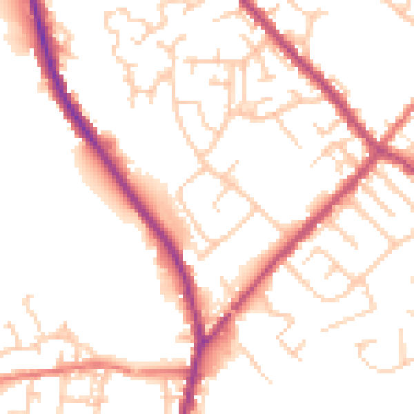
Daytime· 07:00 – 23:00
51.8dB

Night-time· 23:00 – 07:00
42.7dB