11 Rothwell Road, Anderton, Chorley, PR6 9LZ
About 11 Rothwell Road
11 Rothwell Road is a mid-terrace house in Anderton, Chorley, Chorley (PR6 9LZ). It has a recorded floor area of 92 m² (around 990 sq ft), construction records dating it to 1950-1966 and council tax band A. The latest certificate (April 2021) shows a D (score 67), on the cusp of jumping into the C band. The recommended improvements would lift it to B (score 81), a 2-band jump.
At 92 m² the property is well over the postcode median (61 m² across 37 EPCs), placing it in the larger end of the local stock.
Everything you need to know about 11 Rothwell Road
The true value, the hidden risks and the full sale history, in one report.
Pick your report · every report is £14.99
One time fee only - money back guarantee

The data behind every report


Energy performance
Recommended upgrades on file would lift this property by multiple EPC bands.
EPC Rating
Get a survey for this property
Level 2 HomeBuyer Report
We've checked 10 risk factors against the available data for this property and believe a Level 2 HomeBuyer Report could be a suitable option for you.
From £495 · Includes VAT
Planning history
11 Rothwell Road has no planning applications on record.
But the area is active
4 notable applications nearby — larger schemes and conversions that could reshape the street. The report maps them all.
Sales history & valuation
11 Rothwell Road has no Land Registry sales on file, suggesting it has stayed in the same hands since registration began.
£145,000
Modelled from EPC, postcode comparables.
No sales recorded with HM Land Registry
That can mean the property has never traded since the registry began publishing in 1995, was a new build that hasn't been registered yet, or is held in the same hands long-term.
Median price across the last 5 sales in PR6 9LZ: £140,000 (2024–2018).
Nearby sales in PR6 9LZ
1 Rothwell Road, Anderton, Chorley, PR6 9LZ
Sold Jul 2024
£300,0007 Rothwell Road, Anderton, Chorley, PR6 9LZ
Sold Jun 2022
£140,0006 Rothwell Road, Anderton, Chorley, PR6 9LZ
Sold Sept 2020
£117,25042 Rothwell Road, Anderton, Chorley, PR6 9LZ
Sold Apr 2019
£135,0009 Rothwell Road, Anderton, Chorley, PR6 9LZ
Sold Sept 2018
£147,000
Versus other Rothwell Road homes
11 Rothwell Road outperforms the street on floor area by a wide margin.
EPC Rating
67 (D)
Street avg 67 (D)
Floor Area
92 m²
Street avg 68 m²
CO₂ Emissions
3.6 t/year
Street avg 2.8 t/year
Habitable Rooms
4 rooms
Street avg 4 rooms
Everything you need to know about 11 Rothwell Road
The true value, the hidden risks and the full sale history, in one report.
Pick your report · every report is £14.99
One time fee only - money back guarantee
The data behind every report
Similar properties nearby
1 Carlisle Place, Adlington
PR6 9SF
1 Ashfield Court, Ashfield Road, Anderton
PR6 9NJ
1 Brookside Cottages, Coppice Lane, Heapey
PR6 9DB
1 Chester Court, Adlington
PR6 9FX
1 Croston Avenue, Adlington
PR6 9RW
1 Broad Oak Close, Adlington
PR6 9RU
1 Bolton Road, Grimeford Village, Anderton
PR6 9HH
1 Chorley Road, Adlington
PR6 9LH
The neighbourhood at a glance
Rail-style transport is unusually close for this postcode.
Crime
2/mo
Steady year-on-year across the wider district.
Nearest stop
0.2 km
Rothwell Road — bus stop.
Closest school
0.1 km
St Joseph's Catholic Primary School, Anderton. 7 schools nearby.
Go deeper on the local area
A Local Area report breaks down crime, transport links, schools and air quality in depth.
Road noise across the postcode
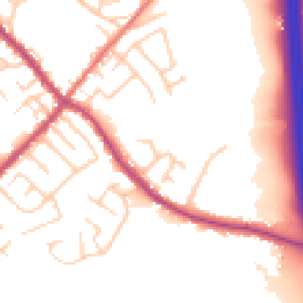
Daytime· 07:00 – 23:00
53.4dB

Night-time· 23:00 – 07:00
45.2dB