17 Heathfield, Heath Charnock, Chorley, PR6 9LA
About 17 Heathfield
17 Heathfield is a property in Heath Charnock, Chorley, Chorley (PR6 9LA). It has council tax band A.
It hasn't traded since June 2005, a hold of 21 years that's notably long for the area. Across 1995–2005, sale prices on this property compounded at 14.9% per year.
Everything you need to know about 17 Heathfield
The true value, the hidden risks and the full sale history, in one report.
Pick your report · every report is £14.99
One time fee only - money back guarantee

The data behind every report


Energy performance
No EPC on record
This property doesn't have an Energy Performance Certificate yet. An EPC is required to sell or let — and unlocks our automated valuation.
Get a survey for this property
Level 2 HomeBuyer Report
We've checked 10 risk factors against the available data for this property and believe a Level 2 HomeBuyer Report could be a suitable option for you.
Planning history
17 Heathfield has no planning applications on record.
But the area is active
4 notable applications nearby — larger schemes and conversions that could reshape the street. The report maps them all.
Sales history & valuation
Latest sale on 17 Heathfield was the highest on Land Registry record across the postcode.
£159,000
Growth on file: 14.9% per year over 10 years.
Sales timeline
29 June 2005Most recent
£159,000
+278.6%over 10 years29 June 1995
£42,000
+8.5%27 April 1995
£38,700
Median price across the last 5 sales in PR6 9LA: £122,500 (2022–2016).
Nearby sales in PR6 9LA
41 Heathfield, Heath Charnock, Chorley, PR6 9LA
Sold Mar 2022
£101,25012 Heathfield, Heath Charnock, Chorley, PR6 9LA
Sold Jan 2022
£154,0006 Heathfield, Heath Charnock, Chorley, PR6 9LA
Sold Jun 2019
£116,5008 Heathfield, Heath Charnock, Chorley, PR6 9LA
Sold Jun 2018
£130,0004 Heathfield, Heath Charnock, Chorley, PR6 9LA
Sold Jun 2016
£122,500
Everything you need to know about 17 Heathfield
The true value, the hidden risks and the full sale history, in one report.
Pick your report · every report is £14.99
One time fee only - money back guarantee
The data behind every report
Similar properties nearby
1 Brookside Cottages, Coppice Lane, Heapey
PR6 9DB
1 Chester Court, Adlington
PR6 9FX
1 Croston Avenue, Adlington
PR6 9RW
1 Carlisle Place, Adlington
PR6 9SF
1 Ashfield Court, Ashfield Road, Anderton
PR6 9NJ
1 Broad Oak Close, Adlington
PR6 9RU
1 Bolton Road, Grimeford Village, Anderton
PR6 9HH
1 Chorley Road, Adlington
PR6 9LH
The neighbourhood at a glance
Crime
2/mo
Steady year-on-year across the wider district.
Nearest stop
0.1 km
Rawlinson Lane — bus stop.
Closest school
0.8 km
Adlington St Paul's Church of England Primary School. 9 schools nearby.
Go deeper on the local area
A Local Area report breaks down crime, transport links, schools and air quality in depth.
Road noise across the postcode
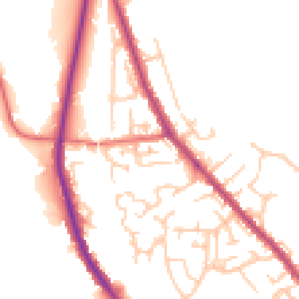
Daytime· 07:00 – 23:00
51.3dB

Night-time· 23:00 – 07:00
42.7dB