17 Beaconsfield Terrace, Chorley, PR6 7AD
About 17 Beaconsfield Terrace
17 Beaconsfield Terrace is a mid-terrace house in Chorley (PR6 7AD). It has a recorded floor area of 87 m² (around 936 sq ft), construction records dating it to 1900-1929 and council tax band A. The latest certificate (September 2016) shows a D (score 61), on the cusp of jumping into the C band. The recommended improvements would lift it to B (score 83), a 2-band jump.
At 87 m² it's 25.2% larger than the typical home in the postcode (70 m² median across 42 EPCs). On a £-per-square-foot basis, the last sale (£131/sq ft) was about 58.3% above the typical sold price in the postcode. Last sale on file: £123,000 in October 2022. That sale was during the post-pandemic price surge, when transactions cleared materially above pre-2020 trend.
Everything you need to know about 17 Beaconsfield Terrace
The true value, the hidden risks and the full sale history, in one report.
Pick your report · every report is £14.99
One time fee only - money back guarantee

The data behind every report


Energy performance
Recommended upgrades on file would lift this property by multiple EPC bands.
EPC Rating
Get a survey for this property
Level 3 Building Survey
Because the property was built before 1919, we believe a Level 3 building survey should be considered.
From £820 · Includes VAT
Planning history
17 Beaconsfield Terrace has no planning applications on record.
A planning report still maps activity across the surrounding area and reads this property's extension & conversion potential.
Sales history & valuation
The latest sale landed in the post-pandemic price surge — useful context when reading the figure.
£126,000
Modelled from EPC, postcode comparables.
£123,000
Recorded with HM Land Registry.
Sales timeline
6 October 2022Most recent
£123,000
Median price across the last 5 sales in PR6 7AD: £105,000 (2025–2023).
Nearby sales in PR6 7AD
31 Beaconsfield Terrace, Chorley, PR6 7AD
Sold Aug 2025
£128,00027 Beaconsfield Terrace, Chorley, PR6 7AD
Sold Jul 2025
£142,00018 Beaconsfield Terrace, Chorley, PR6 7AD
Sold Oct 2024
£75,0004 Beaconsfield Terrace, Chorley, PR6 7AD
Sold May 2024
£97,50025 Beaconsfield Terrace, Chorley, PR6 7AD
Sold Sept 2023
£105,000
Versus other Beaconsfield Terrace homes
On floor area, 17 Beaconsfield Terrace stands well clear of the street.
Price per m²
£1,414
Street avg £1,177
Floor Area
87 m²
Street avg 71 m²
Habitable Rooms
4 rooms
Street avg 4 rooms
CO₂ Emissions
4.2 t/year
Street avg 3.2 t/year
Everything you need to know about 17 Beaconsfield Terrace
The true value, the hidden risks and the full sale history, in one report.
Pick your report · every report is £14.99
One time fee only - money back guarantee
The data behind every report
Similar properties nearby
1 Beaconsfield Terrace
PR6 7AD
1 Burghley Close, Clayton Le Woods
PR6 7SU
1 Brownley Street, Clayton Le Woods
PR6 7JF
1 Bone Croft, Clayton Le Woods
PR6 7UR
1 Blackthorn Croft, Clayton Le Woods
PR6 7TZ
1 Baytree Road, Clayton Le Woods
PR6 7JW
1 Cedar Field, Clayton Le Woods
PR6 7RW
1 Bingley Close, Clayton Le Woods
PR6 7ST
The neighbourhood at a glance
Crime
2/mo
Steady year-on-year across the wider district.
Nearest stop
0.2 km
Beaconsfield Terrace — bus stop.
Closest school
0.2 km
St Joseph's Catholic Primary School, Chorley. 21 schools nearby.
Go deeper on the local area
A Local Area report breaks down crime, transport links, schools and air quality in depth.
Road noise across the postcode
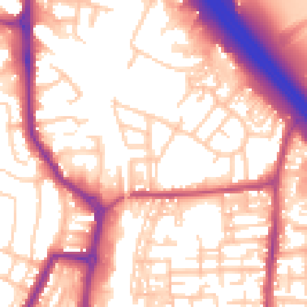
Daytime· 07:00 – 23:00
57.3dB
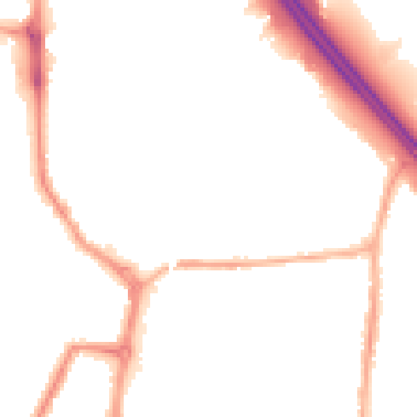
Night-time· 23:00 – 07:00
47.5dB