48 Cowling Brow, Chorley, PR6 0QF
About 48 Cowling Brow
48 Cowling Brow is a three-bedroom mid-terrace house in Chorley (PR6 0QF). It has a recorded floor area of 96 m² (around 1033 sq ft), construction records dating it to 1900-1929 and council tax band B. The latest certificate (October 2025) shows a C (score 71). When first surveyed in September 2013 the rating was D, the property has climbed 1 band since. Between certificates, roof efficiency went from Very Poor to Good; while window efficiency dropped from Good to Average. The recommended improvements would push it to B (score 85).
Held since October 1995 — that's 31 years off the open market, well above the local norm. Only one transfer is on record with HM Land Registry, suggesting it has stayed in the same hands for a long time. Today's modelled estimate of £151,000 sits 655% above the 1995 sale of £20,000. On a £-per-square-foot basis, the last sale (£19/sq ft) was about 78.2% below the postcode norm. At 96 m² it's 28% larger than the typical home in the postcode (75 m² median across 17 EPCs). Its energy rating outperforms most of the postcode (better than 71% of similar EPCs).
What this property has
Inside
- Bedrooms3
- Bathrooms1
- Dining roomYes
- CloakroomYes
Outside
- Private gardenFront
- GarageYes
Building
- RefurbishedYes
Everything you need to know about 48 Cowling Brow
The true value, the hidden risks and the full sale history, in one report.
Pick your report · every report is £14.99
One time fee only - money back guarantee

The data behind every report


Energy performance
EPC Rating
Property Improvements
Changes detected from historical EPC data
Heating controls changed
Roof insulation improved
Low energy lighting percentage decreased
Heating controls upgraded for better temperature management
Roof insulation improved
More low energy lighting installed
Get a survey for this property
Level 3 Building Survey
Because the property was built before 1919, we believe a Level 3 building survey should be considered.
From £820 · Includes VAT
Planning history
48 Cowling Brow has no planning applications on record.
But the area is active
5 notable applications nearby — larger schemes and conversions that could reshape the street. The report maps them all.
Sales history & valuation
48 Cowling Brow's modelled value sits at over four times its earliest registered sale price (1995).
£151,000
Modelled from EPC, postcode comparables.
£20,000
Recorded with HM Land Registry.
Sales timeline
3 October 1995Most recent
£20,000
Median price across the last 5 sales in PR6 0QF: £113,500 (2025–2020).
Versus other Cowling Brow homes
On price per m², 48 Cowling Brow runs well behind the street norm.
Price per m²
£208
Street avg £1,132
Floor Area
96 m²
Street avg 80 m²
Habitable Rooms
4 rooms
Street avg 5 rooms
CO₂ Emissions
3.2 t/year
Street avg 3.8 t/year
Everything you need to know about 48 Cowling Brow
The true value, the hidden risks and the full sale history, in one report.
Pick your report · every report is £14.99
One time fee only - money back guarantee
The data behind every report
Similar properties nearby
The neighbourhood at a glance
Rail-style transport is unusually close for this postcode.
Crime
2/mo
Steady year-on-year across the wider district.
Nearest stop
0.2 km
Brookes Arms — bus stop.
Closest school
0.4 km
Sacred Heart Catholic Primary School, Chorley. 18 schools nearby.
Go deeper on the local area
A Local Area report breaks down crime, transport links, schools and air quality in depth.
Road noise across the postcode
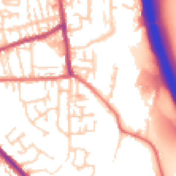
Daytime· 07:00 – 23:00
55.0dB

Night-time· 23:00 – 07:00
45.6dB