26a, Marlborough Street, Chorley, PR6 0DT
About 26a
26a is a semi-detached house in Chorley (PR6 0DT). It has a recorded floor area of 41 m² (around 441 sq ft), construction records dating it to 1930-1949 and council tax band A. At 41 m² this is the 7th smallest of 24 units on EPC record in the building, where floor areas span 37–101 m². The building's EPC ratings span E to C, with this unit at the top. The latest certificate (August 2021) shows a C (score 72). When first surveyed in March 2009 the rating was D, the property has climbed 1 band since. Between certificates, roof efficiency went from Very Poor to Average, hot-water efficiency went from Average to Good and lighting went from Good to Very Good; while wall efficiency dropped from Good to Average and window efficiency dropped from Good to Average.
It hasn't traded since October 2009, a hold of 17 years that's notably long for the area. That sale fell during the post-crash dip, which often skews comparisons against later neighbouring sales. Today's modelled estimate of £108,000 sits 105.7% above the 2009 sale of £52,500. At 41 m² it sits well below the postcode median (73 m² across 23 EPCs), making it one of the more compact homes locally.
Everything you need to know about 26a
The true value, the hidden risks and the full sale history, in one report.
Pick your report · every report is £14.99
One time fee only - money back guarantee

The data behind every report


Energy performance
EPC Rating
Property Improvements
Changes detected from historical EPC data
Heating controls changed
Hot water efficiency decreased
Roof insulation improved
More low energy lighting installed
Heating controls upgraded for better temperature management
Hot water system upgraded
More low energy lighting installed
Get a survey for this property
Level 2 HomeBuyer Report
We've checked 10 risk factors against the available data for this property and believe a Level 2 HomeBuyer Report could be a suitable option for you.
From £495 · Includes VAT
Planning history
26a has no planning applications on record.
But the area is active
5 notable applications nearby — larger schemes and conversions that could reshape the street. The report maps them all.
Sales history & valuation
The latest sale fell during the post-2008 dip, often a low-water mark in price comparisons.
£108,000
Modelled from EPC, postcode comparables.
£52,500
Recorded with HM Land Registry.
Sales timeline
8 October 2009Most recent
£52,500
Median price across the last 5 sales in PR6 0DT: £145,000 (2025–2020).
Nearby sales in PR6 0DT
Versus other Marlborough Street homes
26a is notably below the street on co₂ emissions.
EPC Rating
72 (C)
Street avg 72 (C)
Floor Area
41 m²
Street avg 40 m²
CO₂ Emissions
1.7 t/year
Street avg 1.5 t/year
Habitable Rooms
2 rooms
Street avg 2 rooms
Everything you need to know about 26a
The true value, the hidden risks and the full sale history, in one report.
Pick your report · every report is £14.99
One time fee only - money back guarantee
The data behind every report
Similar properties nearby
The neighbourhood at a glance
Rail-style transport is unusually close for this postcode.
Crime
2/mo
Steady year-on-year across the wider district.
Nearest stop
0.1 km
St Peters Street — bus stop.
Closest school
0.1 km
St Peter's CofE Primary School Chorley. 21 schools nearby.
Go deeper on the local area
A Local Area report breaks down crime, transport links, schools and air quality in depth.
Road noise across the postcode
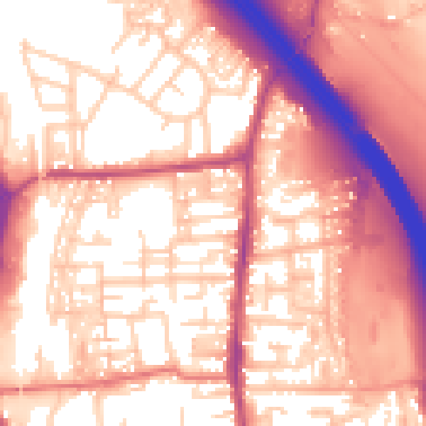
Daytime· 07:00 – 23:00
58.4dB

Night-time· 23:00 – 07:00
48.8dB