15b, St Peters Street, Chorley, PR6 0DS
About 15b
15b is a three-bedroom semi-detached house in Chorley (PR6 0DS). It has a recorded floor area of 114 m² (around 1224 sq ft) and council tax band B. The latest certificate (July 2010) returns a B (score 82), comfortably above the UK average. The latest certificate is from July 2010, so improvements made since then won't be reflected.
It hasn't traded since April 2011, a hold of 15 years that's notably long for the area. At 114 m² the property is well over the postcode median (77 m² across 25 EPCs), placing it in the larger end of the local stock. On energy efficiency it sits in the top 10% of properties in this postcode. Today's modelled estimate of £175,000 sits 50.9% above the 2011 sale of £116,000. On a £-per-square-foot basis, the last sale (£95/sq ft) was about 21.5% below the postcode norm.
What this property has
Inside
- Bedrooms3
Everything you need to know about 15b
The true value, the hidden risks and the full sale history, in one report.
Pick your report · every report is £14.99
One time fee only - money back guarantee

The data behind every report


Energy performance
15b ranks among the most efficient homes in the postcode for energy use.
EPC Expired
This certificate is over 10 years old and is no longer valid.Expired 01 Jul 2020
EPC Rating
Get a survey for this property
Level 2 HomeBuyer Report
We've checked 10 risk factors against the available data for this property and believe a Level 2 HomeBuyer Report could be a suitable option for you.
From £495 · Includes VAT
Planning history
15b has no planning applications on record.
But the area is active
5 notable applications nearby — larger schemes and conversions that could reshape the street. The report maps them all.
Sales history & valuation
15b valuation sits well clear of the typical sold price in this postcode.
£175,000
Modelled from EPC, postcode comparables.
£116,000
Recorded with HM Land Registry.
Sales timeline
26 April 2011Most recent
£116,000
Median price across the last 5 sales in PR6 0DS: £150,000 (2024–2023).
Nearby sales in PR6 0DS
Versus other St Peters Street homes
EPC Rating for 15b runs comfortably ahead of the street norm.
Price per m²
£1,020
Street avg £1,375
Floor Area
114 m²
Street avg 77 m²
CO₂ Emissions
2.3 t/year
Street avg 3.4 t/year
Years Held
15 years
Street avg 10 years
Everything you need to know about 15b
The true value, the hidden risks and the full sale history, in one report.
Pick your report · every report is £14.99
One time fee only - money back guarantee
The data behind every report
Similar properties nearby
The neighbourhood at a glance
Rail-style transport is unusually close for this postcode.
Crime
2/mo
Steady year-on-year across the wider district.
Nearest stop
0.1 km
St Peters Street — bus stop.
Closest school
0.2 km
St Peter's CofE Primary School Chorley. 20 schools nearby.
Go deeper on the local area
A Local Area report breaks down crime, transport links, schools and air quality in depth.
Road noise across the postcode
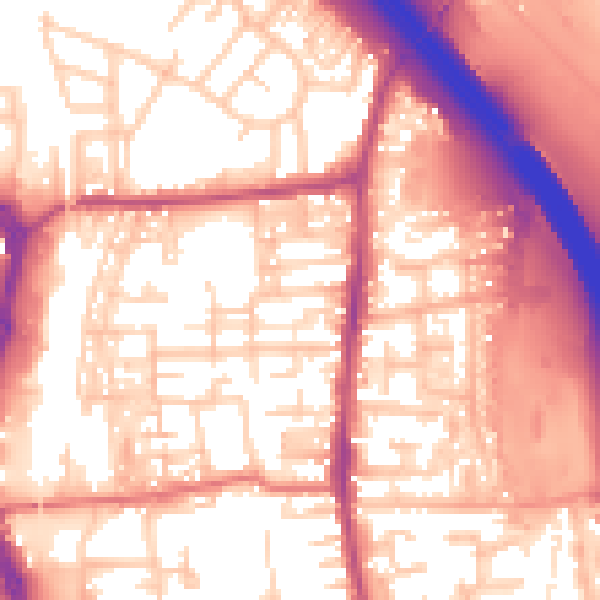
Daytime· 07:00 – 23:00
57.9dB
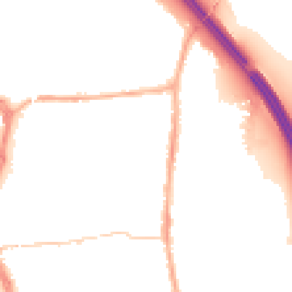
Night-time· 23:00 – 07:00
48.2dB