295 Eaves Lane, Chorley, PR6 0DR
About 295 Eaves Lane
295 Eaves Lane is a mid-terrace house in Chorley (PR6 0DR). It has a recorded floor area of 89 m² (around 958 sq ft), construction records dating it to 1900-1929 and council tax band A. The latest certificate (July 2021) shows a D (score 63), on the cusp of jumping into the C band. The rating has held steady at D across 3 certificates since February 2021. The recommended improvements would lift it to B (score 81), a 2-band jump.
Today's modelled estimate of £129,000 sits 50% above the 2021 sale of £86,000. On a £-per-square-foot basis, the last sale (£90/sq ft) was about 18.5% below the postcode norm. Last sale on file: £86,000 in April 2021. That sale was during the post-pandemic price surge, when transactions cleared materially above pre-2020 trend.
Everything you need to know about 295 Eaves Lane
The true value, the hidden risks and the full sale history, in one report.
Pick your report · every report is £14.99
One time fee only - money back guarantee

The data behind every report


Energy performance
Recommended upgrades on file would lift this property by multiple EPC bands.
EPC Rating
Property Improvements
Changes detected from historical EPC data
Windows upgraded, improving insulation
Roof insulation improved
Get a survey for this property
Level 3 Building Survey
Because the property was built before 1919, we believe a Level 3 building survey should be considered.
From £820 · Includes VAT
Planning history
295 Eaves Lane has no planning applications on record.
But the area is active
5 notable applications nearby — larger schemes and conversions that could reshape the street. The report maps them all.
Sales history & valuation
295 Eaves Lane's sale-price growth has lagged the wider UK trajectory across its history on file.
£129,000
Modelled from EPC, postcode comparables and a sale-price growth of 0.1% per year over 12 years.
£86,000
Growth on file: 0.1% per year over 12 years.
Sales timeline
25 April 2021Most recent
£86,000
+1.2%over 11 years30 July 2009
£85,000
Median price across the last 5 sales in PR6 0DR: £120,000 (2025–2023).
Versus other Eaves Lane homes
On habitable rooms, 295 Eaves Lane runs well behind the street norm.
Price per m²
£966
Street avg £1,283
Floor Area
89 m²
Street avg 104 m²
Habitable Rooms
3 rooms
Street avg 5 rooms
CO₂ Emissions
4.3 t/year
Street avg 4.4 t/year
Everything you need to know about 295 Eaves Lane
The true value, the hidden risks and the full sale history, in one report.
Pick your report · every report is £14.99
One time fee only - money back guarantee
The data behind every report
Similar properties nearby
The neighbourhood at a glance
Rail-style transport is unusually close for this postcode.
Crime
2/mo
Steady year-on-year across the wider district.
Nearest stop
0.0 km
St Peters Street — bus stop.
Closest school
0.1 km
St Peter's CofE Primary School Chorley. 19 schools nearby.
Go deeper on the local area
A Local Area report breaks down crime, transport links, schools and air quality in depth.
Road noise across the postcode
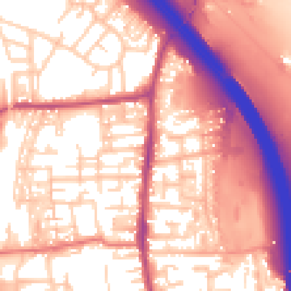
Daytime· 07:00 – 23:00
58.8dB
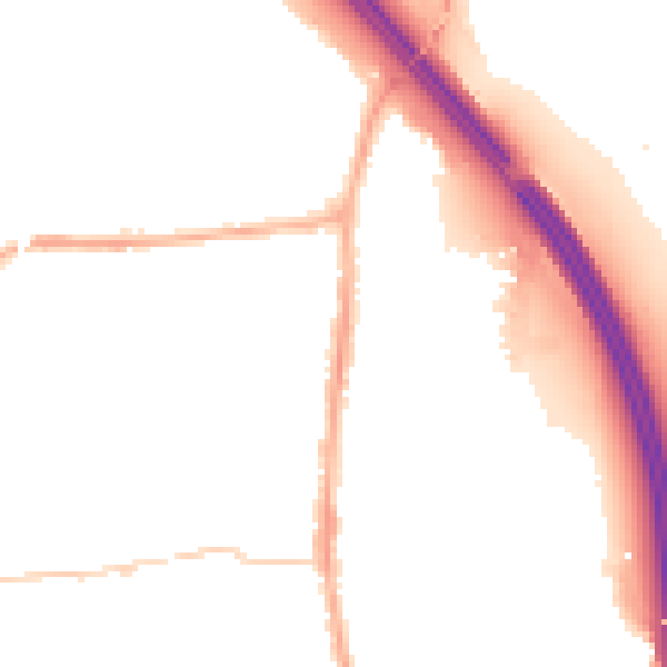
Night-time· 23:00 – 07:00
49.2dB