2 Whimberry Close, Chorley, PR6 0BZ
About 2 Whimberry Close
2 Whimberry Close is a three-bedroom detached house in Chorley (PR6 0BZ). It has a recorded floor area of 103 m² (around 1109 sq ft), construction records dating it to 1996-2002 and council tax band D. The latest certificate (March 2022) shows a C (score 71). The recommended improvements would push it to B (score 82). The home occupies a cul-de-sac position.
At 103 m² the property is well over the postcode median (77 m² across 4 EPCs), placing it in the larger end of the local stock. Today's modelled estimate of £302,000 is 17.5% above the 2022 sale price. Last sale on file: £257,000 in October 2022. That sale was during the post-pandemic price surge, when transactions cleared materially above pre-2020 trend.
What this property has
Inside
- Bedrooms3
- Bathrooms1
- Open-plan layoutYes
- Dining roomYes
- EnsuiteYes
- StudyYes
Outside
- Private gardenRear
- GarageYes
- Cul-de-sacYes
Everything you need to know about 2 Whimberry Close
The true value, the hidden risks and the full sale history, in one report.
Pick your report · every report is £14.99
One time fee only - money back guarantee

The data behind every report


Energy performance
EPC Rating
Get a survey for this property
Level 2 HomeBuyer Report
We've checked 10 risk factors against the available data for this property and believe a Level 2 HomeBuyer Report could be a suitable option for you.
From £595 · Includes VAT
Planning history
2 Whimberry Close has no planning applications on record.
But the area is active
5 notable applications nearby — larger schemes and conversions that could reshape the street. The report maps them all.
Sales history & valuation
The latest sale landed in the post-pandemic price surge — useful context when reading the figure.
£302,000
Modelled from EPC, postcode comparables.
£257,000
Recorded with HM Land Registry.
Sales timeline
23 October 2022Most recent
£257,000
Median price across the last 5 sales in PR6 0BZ: £217,950 (2024–2006).
Versus other Whimberry Close homes
2 Whimberry Close is notably below the street on years held.
Price per m²
£2,495
Street avg £2,619
Floor Area
103 m²
Street avg 86 m²
Habitable Rooms
4 rooms
Street avg 4 rooms
CO₂ Emissions
3.6 t/year
Street avg 3.2 t/year
Everything you need to know about 2 Whimberry Close
The true value, the hidden risks and the full sale history, in one report.
Pick your report · every report is £14.99
One time fee only - money back guarantee
The data behind every report
Similar properties nearby
The neighbourhood at a glance
Rail-style transport is unusually close for this postcode.
Crime
2/mo
Steady year-on-year across the wider district.
Nearest stop
0.2 km
Aniline Street — bus stop.
Closest school
0.4 km
Highfield Community Primary School. 19 schools nearby.
Go deeper on the local area
A Local Area report breaks down crime, transport links, schools and air quality in depth.
Road noise across the postcode

Daytime· 07:00 – 23:00
59.3dB
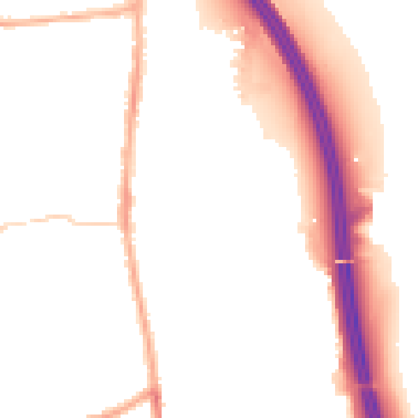
Night-time· 23:00 – 07:00
50.0dB