61 Brown Street, Chorley, PR6 0BA
About 61 Brown Street
61 Brown Street is a three-bedroom semi-detached house in Chorley (PR6 0BA). It has a recorded floor area of 92 m² (around 990 sq ft), construction records dating it to 1967-1975 and council tax band A. The latest certificate (February 2024) shows a D (score 68), on the cusp of jumping into the C band. The rating has held steady at D across 2 certificates since July 2021. Between certificates, lighting went from Very Poor to Very Good. The recommended improvements would push it to C (score 80). Other recorded features include notable views and attached land beyond the plot.
Today's modelled estimate of £163,000 is 43% above the 2021 sale price. On a £-per-square-foot basis, the last sale (£115/sq ft) was about 25.3% above the typical sold price in the postcode. Sold November 2021 for £114,000. That sale was during the post-pandemic price surge, when transactions cleared materially above pre-2020 trend.
What this property has
Inside
- Bedrooms3
- Bathrooms1
- Dining roomYes
Outside
- LandYes
- Notable viewsYes
Everything you need to know about 61 Brown Street
The true value, the hidden risks and the full sale history, in one report.
Pick your report · every report is £14.99
One time fee only - money back guarantee

The data behind every report


Energy performance
EPC Rating
Property Improvements
Changes detected from historical EPC data
Heating controls upgraded for better temperature management
More low energy lighting installed
Get a survey for this property
Level 2 HomeBuyer Report
We've checked 10 risk factors against the available data for this property and believe a Level 2 HomeBuyer Report could be a suitable option for you.
From £495 · Includes VAT
Planning history
61 Brown Street has no planning applications on record.
But the area is active
5 notable applications nearby — larger schemes and conversions that could reshape the street. The report maps them all.
Sales history & valuation
The latest sale landed in the post-pandemic price surge — useful context when reading the figure.
£163,000
Modelled from EPC, postcode comparables.
£114,000
Recorded with HM Land Registry.
Sales timeline
25 November 2021Most recent
£114,000
Median price across the last 5 sales in PR6 0BA: £103,000 (2022–2007).
Versus other Brown Street homes
Price per m² for 61 Brown Street runs comfortably ahead of the street norm.
Price per m²
£1,239
Street avg £918
Floor Area
92 m²
Street avg 74 m²
Habitable Rooms
5 rooms
Street avg 4 rooms
CO₂ Emissions
3.8 t/year
Street avg 4.1 t/year
Everything you need to know about 61 Brown Street
The true value, the hidden risks and the full sale history, in one report.
Pick your report · every report is £14.99
One time fee only - money back guarantee
The data behind every report
Similar properties nearby
The neighbourhood at a glance
Rail-style transport is unusually close for this postcode.
Crime
2/mo
Steady year-on-year across the wider district.
Nearest stop
0.3 km
Brown Street — bus stop.
Closest school
0.2 km
Highfield Community Primary School. 19 schools nearby.
Go deeper on the local area
A Local Area report breaks down crime, transport links, schools and air quality in depth.
Road noise across the postcode
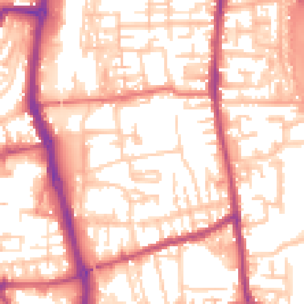
Daytime· 07:00 – 23:00
56.2dB

Night-time· 23:00 – 07:00
46.0dB