1a, Belmont Crescent, Ribbleton, Preston, PR2 6DQ
About 1a
1a is a four-bedroom detached house in Ribbleton, Preston, Preston (PR2 6DQ). It has a recorded floor area of 88 m² (around 947 sq ft), construction records dating it to 1930-1949 and council tax band C. The latest certificate (April 2023) shows a D (score 65), on the cusp of jumping into the C band. Earlier certificates rated it C (October 2011); the latest reading is one band lower. Between certificates, roof efficiency went from Average to Good; while wall efficiency dropped from Good to Average and lighting dropped from Very Good to Good. The recommended improvements would lift it to B (score 81), a 2-band jump.
2 planning records sit against the property, 2 approved, 0 refused. Past consents include an extension and partial demolition, meaningful when judging how the property has evolved. Across 2004–2023, sale prices on this property compounded at 6.1% per year. Today's modelled estimate of £273,000 is 11.4% above the 2023 sale price. Most recent transfer: June 2023 at £245,000.
Know exactly what you're buying at 1a
Before you offer, see what the listing won't tell you, the true value, the red flags and the full history.
Already flagged here
Valuation
against the asking price
Risks
planning & flood
Sold prices
similar homes nearby
Trends
the local market
What this property has
Inside
- Bedrooms4
- Bathrooms2
Energy performance
Recommended upgrades on file would lift this property by multiple EPC bands.
EPC Rating
Property Improvements
Changes detected from historical EPC data
Heating controls upgraded for better temperature management
Roof insulation improved
Planning history
Planning history includes recorded demolition works, indicating a major rebuild phase at this address.
- Jul 2013OutbuildingFullIn report
Erection of attached garage to front and side of dwelling
- Documents
- 16 docs on file
- Reference
- 06/2013/0374
- Oct 2004DemolitionFullIn report
Extension: Single storey · Side and rear of property
Erection of single storey extension to side and single storey extension to rear of dwelling (following demolition of existing garage and single storey rear extension).
Extension- Reference
- 06/2004/1105
We flagged 1 thing worth checking at 1a
Independent checks surfaced things a buyer would want to understand before offering. The report explains each one in full, with the underlying data and what to ask.
- Larger development activity nearby
30-day money-back guarantee
Sales history & valuation
Sale price has grown by over 3x since 2004.
£273,000
Modelled from EPC, postcode comparables and a sale-price growth of 6.1% per year over 19 years.
£245,000
Growth on file: 6.1% per year over 19 years.
Sales timeline
8 June 2023Most recent
£245,000
+206.3%over 19 years20 May 2004
£80,000
Median price across the last 5 sales in PR2 6DQ: £60,000 (2022–1995).
Everything we know about 1a, in one report
What it's really worth, what could be wrong, and the planning, sales and area data in full.
What we flagged
- Larger development activity nearby

Versus other Belmont Crescent homes
1a is notably below the street on floor area.
EPC Rating
65 (D)
Street avg 65 (D)
Floor Area
88 m²
Street avg 95 m²
CO₂ Emissions
3.5 t/year
Street avg 3.9 t/year
Habitable Rooms
5 rooms
Street avg 5 rooms
Similar properties nearby
1 Badgers Croft, Ribbleton
PR2 6NW
1 Burwood Drive, Ribbleton
PR2 6YR
1 Arnold Close, Ribbleton
PR2 6DX
1 Braefield Crescent, Ribbleton
PR2 6ND
1 Burholme Close, Ribbleton
PR2 6HQ
1 Benton Road, Ribbleton
PR2 6UL
1 Boilton Court, Ribbleton
PR2 6HF
1 Belmont Close, Ribbleton
PR2 6DD
The neighbourhood at a glance
Crime
6/mo
Steady year-on-year across the wider district.
Nearest stop
0.2 km
Morris Road — bus stop.
Closest school
0.5 km
Preston Greenlands Community Primary School. 35 schools nearby.
Go deeper on the local area
The full report breaks down crime, transport links, schools and air quality in depth.
Road noise across the postcode
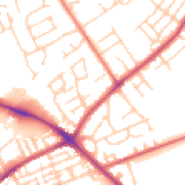
Daytime· 07:00 – 23:00
52.9dB

Night-time· 23:00 – 07:00
42.8dB