1 Alford Fold, Fulwood, Preston, PR2 3UU
About 1 Alford Fold
1 Alford Fold is a semi-detached house in Fulwood, Preston, Preston (PR2 3UU). It has a recorded floor area of 74 m² (around 797 sq ft), construction records dating it to 1976-1982 and council tax band C. The latest certificate (November 2025) shows a D (score 67), on the cusp of jumping into the C band. The recommended improvements would push it to C (score 75).
Held since April 2006 — that's 20 years off the open market, well above the local norm. Today's modelled estimate of £199,000 is 40.6% above the 2006 sale price.
Know exactly what you're buying at 1 Alford Fold
Before you offer, see what the listing won't tell you, the true value, the red flags and the full history.
Already flagged here
Valuation
against the asking price
Risks
planning & flood
Sold prices
similar homes nearby
Trends
the local market
Energy performance
EPC Rating
Planning history
1 Alford Fold has no planning applications on record.
Notable planning nearby
4applications of note in the surrounding area
We flagged 1 thing worth checking at 1 Alford Fold
Independent checks surfaced things a buyer would want to understand before offering. The report explains each one in full, with the underlying data and what to ask.
- Signs of HMO activity in the area
30-day money-back guarantee
Sales history & valuation
£199,000
Modelled from EPC, postcode comparables.
£141,500
Recorded with HM Land Registry.
Sales timeline
3 April 2006Most recent
£141,500
Median price across the last 5 sales in PR2 3UU: £214,000 (2025–2021).
Nearby sales in PR2 3UU
11 Alford Fold, Fulwood, Preston, PR2 3UU
Sold Mar 2025
£214,00015 Alford Fold, Fulwood, Preston, PR2 3UU
Sold Feb 2024
£222,0004 Alford Fold, Fulwood, Preston, PR2 3UU
Sold Sept 2023
£225,0009 Alford Fold, Fulwood, Preston, PR2 3UU
Sold Mar 2023
£200,00012 Alford Fold, Fulwood, Preston, PR2 3UU
Sold Jul 2021
£185,000
Everything we know about 1 Alford Fold, in one report
What it's really worth, what could be wrong, and the planning, sales and area data in full.
What we flagged
- Signs of HMO activity in the area

Versus other Alford Fold homes
On price per m², 1 Alford Fold runs well behind the street norm.
Price per m²
£1,912
Street avg £2,296
Floor Area
74 m²
Street avg 87 m²
Habitable Rooms
5 rooms
Street avg 5 rooms
CO₂ Emissions
2.9 t/year
Street avg 3.9 t/year
Similar properties nearby
1 Briar Grove, Ingol
PR2 3UR
1 Austin Crescent, Fulwood
PR2 3TQ
1 Barnsfold, Fulwood
PR2 3EU
1 Athelstan Fold, Fulwood
PR2 3SS
1 Beacon Avenue, Fulwood
PR2 3QY
1 Alvern Crescent, Fulwood
PR2 3QS
1 Cadley Causeway, Fulwood
PR2 3RT
1 Cadley Avenue, Fulwood
PR2 3LG
The neighbourhood at a glance
Crime
6/mo
Steady year-on-year across the wider district.
Nearest stop
0.2 km
Belton Hill — bus stop.
Closest school
0.3 km
Our Lady and St Edward's Catholic Primary School, Preston. 25 schools nearby.
Go deeper on the local area
The full report breaks down crime, transport links, schools and air quality in depth.
Road noise across the postcode
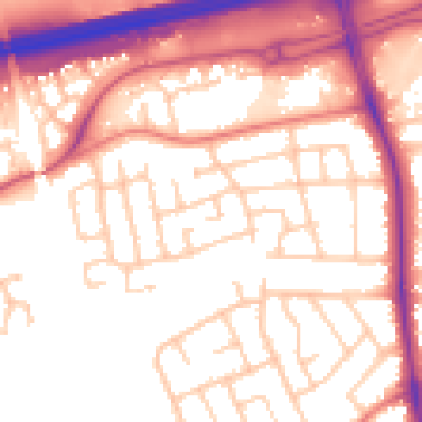
Daytime· 07:00 – 23:00
55.1dB

Night-time· 23:00 – 07:00
45.0dB