11 Bucklands Avenue, Ashton On Ribble, Preston, PR2 2BP
About 11 Bucklands Avenue
11 Bucklands Avenue is a two-bedroom mid-terrace house in Ashton-On-Ribble, Preston, Preston (PR2 2BP). It has a recorded floor area of 71 m² (around 764 sq ft), construction records dating it to 1930-1949 and council tax band B. The latest certificate (July 2020) shows a C (score 69), just inside the C band. The rating has held steady at C across 2 certificates since May 2009. Between certificates, lighting went from Average to Very Good; while wall efficiency dropped from Good to Average and window efficiency dropped from Good to Average. The recommended improvements would push it to B (score 85).
Last sale on file: £92,000 in May 2021. Across the public record there are 4 sales, relatively high churn for a single property. That sale was during the post-pandemic price surge, when transactions cleared materially above pre-2020 trend. Across 2004–2021, sale prices on this property compounded at 0.7% per year. Today's modelled estimate of £134,000 is 45.7% above the 2021 sale price. On a £-per-square-foot basis, the last sale (£120/sq ft) was about 19.9% above the typical sold price in the postcode.
Know exactly what you're buying at 11 Bucklands Avenue
Before you offer, see what the listing won't tell you, the true value, the red flags and the full history.
Already flagged here
Valuation
against the asking price
Risks
planning & flood
Sold prices
similar homes nearby
Trends
the local market
What this property has
Inside
- Bedrooms2
- Bathrooms1
- Dining roomYes
- Utility roomYes
Outside
- Private gardenRear
Energy performance
EPC Rating
Property Improvements
Changes detected from historical EPC data
More low energy lighting installed
Planning history
11 Bucklands Avenue has no planning applications on record.
Notable planning nearby
16applications of note in the surrounding area
We flagged 2 things worth checking at 11 Bucklands Avenue
Independent checks surfaced things a buyer would want to understand before offering. The report explains each one in full, with the underlying data and what to ask.
- Signs of HMO activity in the area
- Larger development activity nearby
30-day money-back guarantee
Sales history & valuation
11 Bucklands Avenue's sale-price growth has lagged the wider UK trajectory across its history on file.
£134,000
Modelled from EPC, postcode comparables and a sale-price growth of 0.7% per year over 17 years.
£92,000
Growth on file: 0.7% per year over 17 years.
Sales timeline
20 May 2021Most recent
£92,000
+2.2%over 2 years27 September 2018
£90,000
-2.2%over 9 years30 July 2009
£92,000
+12.2%over 5 years29 April 2004
£82,000
Median price across the last 5 sales in PR2 2BP: £135,000 (2024–2023).
Nearby sales in PR2 2BP
16 Bucklands Avenue, Ashton On Ribble, Preston, PR2 2BP
Sold Dec 2024
£138,0002 Bucklands Avenue, Ashton On Ribble, Preston, PR2 2BP
Sold Sept 2024
£150,00015 Bucklands Avenue, Ashton On Ribble, Preston, PR2 2BP
Sold Mar 2024
£135,00034 Bucklands Avenue, Ashton On Ribble, Preston, PR2 2BP
Sold Jan 2024
£124,00022 Bucklands Avenue, Ashton On Ribble, Preston, PR2 2BP
Sold Nov 2023
£116,000
Everything we know about 11 Bucklands Avenue, in one report
What it's really worth, what could be wrong, and the planning, sales and area data in full.
What we flagged
- Signs of HMO activity in the area
- Larger development activity nearby

Versus other Bucklands Avenue homes
On floor area, 11 Bucklands Avenue runs well behind the street norm.
Price per m²
£1,296
Street avg £1,288
Floor Area
71 m²
Street avg 78 m²
Habitable Rooms
4 rooms
Street avg 4 rooms
CO₂ Emissions
2.8 t/year
Street avg 3.8 t/year
Similar properties nearby
1 Bucklands Avenue, Ashton On Ribble
PR2 2BP
1 Arnott Road, Ashton On Ribble
PR2 2EB
1 De Lacy Street, Ashton On Ribble
PR2 2DD
1 Drakes Croft, Ashton On Ribble
PR2 2LZ
1 Balcarres Road, Ashton On Ribble
PR2 2BT
1 Brook Court, Dorman Close, Ashton On Ribble
PR2 2BG
1 Bray Street, Ashton On Ribble
PR2 2RP
1 Fazackerley Street, Ashton On Ribble
PR2 2SQ
The neighbourhood at a glance
Crime
6/mo
Steady year-on-year across the wider district.
Nearest stop
0.1 km
Roebuck Street — bus stop.
Closest school
0.1 km
The Roebuck School. 48 schools nearby.
Go deeper on the local area
The full report breaks down crime, transport links, schools and air quality in depth.
Road noise across the postcode
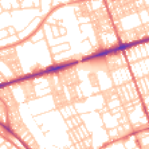
Daytime· 07:00 – 23:00
54.8dB

Night-time· 23:00 – 07:00
42.2dB