9 Dodney Drive, Lea, Preston, PR2 1XR
About 9 Dodney Drive
9 Dodney Drive is a four-bedroom semi-detached house in Lea, Preston, Preston (PR2 1XR). It has a recorded floor area of 110 m² (around 1184 sq ft), construction records dating it to 1950-1966 and council tax band B. The latest certificate (September 2020) shows a C (score 74). The rating has held steady at C across 2 certificates since June 2010. Between certificates, lighting went from Very Poor to Very Good; while wall efficiency dropped from Good to Average and hot-water efficiency dropped from Very Good to Good. The recommended improvements would push it to B (score 85).
One planning record on file: an extension approved in 2011. Past consents include an extension and partial demolition, meaningful when judging how the property has evolved. Across 2011–2021, sale prices on this property compounded at 10.7% per year. Today's modelled estimate of £279,000 is 22.9% above the 2021 sale price. On a £-per-square-foot basis, the last sale (£192/sq ft) was about 55.8% above the typical sold price in the postcode. Most recent transfer: February 2021 at £227,000. That sale was during the post-pandemic price surge, when transactions cleared materially above pre-2020 trend.
Know exactly what you're buying at 9 Dodney Drive
Before you offer, see what the listing won't tell you, the true value, the red flags and the full history.
Already flagged here
Valuation
against the asking price
Risks
planning & flood
Sold prices
similar homes nearby
Trends
the local market
What this property has
Inside
- Bedrooms4
- Bathrooms1
- Dining roomYes
- Utility roomYes
- CloakroomYes
- EnsuiteYes
Outside
- Private gardenRear
- ParkingOff road
Building
- RefurbishedYes
Energy performance
EPC Rating
Property Improvements
Changes detected from historical EPC data
Heating controls upgraded for better temperature management
Hot water efficiency decreased
More low energy lighting installed
Planning history
Planning history includes recorded demolition works, indicating a major rebuild phase at this address.
- Aug 2011DemolitionFullIn report
Extension: Two storey · Side of property
Erection of two storey extension to side including bay window and canopy to front of dwelling (following demolition of existing outbuilding)
Extension- Documents
- 5 docs on file
- Reference
- 06/2011/0526
We flagged 2 things worth checking at 9 Dodney Drive
Independent checks surfaced things a buyer would want to understand before offering. The report explains each one in full, with the underlying data and what to ask.
- Signs of HMO activity in the area
- Larger development activity nearby
30-day money-back guarantee
Sales history & valuation
9 Dodney Drive has more than doubled in price since the earliest registered sale in 2011.
£279,000
Modelled from EPC, postcode comparables and a sale-price growth of 10.7% per year over 10 years.
£227,000
Growth on file: 10.7% per year over 10 years.
Sales timeline
16 February 2021Most recent
£227,000
+127.0%over 8 years5 July 2012
£100,000
+22.0%over 1 year18 February 2011
£82,000
Median price across the last 5 sales in PR2 1XR: £227,000 (2025–2023).
Nearby sales in PR2 1XR
Everything we know about 9 Dodney Drive, in one report
What it's really worth, what could be wrong, and the planning, sales and area data in full.
What we flagged
- Signs of HMO activity in the area
- Larger development activity nearby

Versus other Dodney Drive homes
EPC Rating for 9 Dodney Drive runs comfortably ahead of the street norm.
Price per m²
£2,064
Street avg £1,565
Floor Area
110 m²
Street avg 105 m²
Habitable Rooms
6 rooms
Street avg 5 rooms
CO₂ Emissions
3.2 t/year
Street avg 4.5 t/year
Similar properties nearby
1 Alder Coppice, Lea
PR2 1YG
1 Aldwych Drive, Ashton On Ribble
PR2 1SJ
1 Aldfield Avenue, Lea
PR2 1XQ
1 Ashton Bank Way, Ashton On Ribble
PR2 1BZ
1 Ash Meadow, Lea
PR2 1RX
1 Bank Place, Ashton On Ribble
PR2 1DN
1 Brooklands, Ashton On Ribble
PR2 1AP
1 Bilsborough Meadow, Lea
PR2 1YY
The neighbourhood at a glance
Daytime road noise here sits well below conversation level — a quiet pocket of the postcode.
Crime
6/mo
Steady year-on-year across the wider district.
Nearest stop
0.1 km
Greenside Avenue — bus stop.
Closest school
0.3 km
St Bernard's Catholic Primary School, Preston. 15 schools nearby.
Go deeper on the local area
The full report breaks down crime, transport links, schools and air quality in depth.
Road noise across the postcode
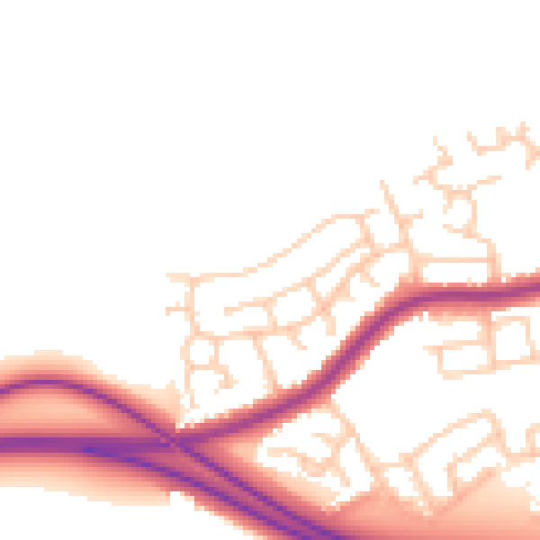
Daytime· 07:00 – 23:00
49.6dB

Night-time· 23:00 – 07:00
41.5dB