11 Belgrave Avenue, Penwortham, Preston, PR1 0BH
About 11 Belgrave Avenue
11 Belgrave Avenue is a three-bedroom semi-detached house in Penwortham, Preston, Preston (PR1 0BH). It has a recorded floor area of 110 m² (around 1184 sq ft), construction records dating it to 1930-1949 and council tax band C. The latest certificate (June 2009) shows an E (score 53), well below the UK norm with real room to improve. The recommended improvements would push it to D (score 63). The latest certificate is from June 2009, so improvements made since then won't be reflected. Records show the property has been extended at some point in its history.
Across 2000–2016, sale prices on this property compounded at 6.9% per year. Today's modelled estimate of £314,000 sits 53.9% above the 2016 sale of £204,000. 10 years since the last transfer (April 2016). Across the public record there are 4 sales, relatively high churn for a single property. 2 planning records sit against the property, 2 approved, 0 refused. Past consents include an extension, meaningful when judging how the property has evolved. At 110 m² it's 19.6% larger than the typical home in the postcode (92 m² median across 31 EPCs). It lags the bulk of the postcode on energy efficiency (less efficient than 77% of similar EPCs).
What this property has
Inside
- Bedrooms3
- Bathrooms2
- Dining roomYes
- Utility roomYes
- CloakroomYes
- EnsuiteYes
Outside
- Private gardenYes
- DrivewayYes
Building
- Previously extendedYes
- RefurbishedYes
Everything you need to know about 11 Belgrave Avenue
The true value, the hidden risks and the full sale history, in one report.
Pick your report · every report is £14.99
One time fee only - money back guarantee

The data behind every report


Energy performance
11 Belgrave Avenue's carbon output runs well above what efficient homes in the postcode produce.
EPC Expired
This certificate is over 10 years old and is no longer valid.Expired 09 Jun 2019
EPC Rating
Get a survey for this property
Level 3 Building Survey
Because the property has been extended more than once, we believe a Level 3 building survey should be considered.
From £955 · Includes VAT
Planning history
11 Belgrave Avenue has been extended on multiple sides of the property across separate planning applications.
2 applications on record at 11 Belgrave Avenue, Penwortham, Preston, PR1 0BH
- Aug 2005ExtensionFullOutcome in report
Extension: Side and rear of property
Single storey extensions to side and rear.
- Reference
- 07/2005/0574
- More recent applications — locked
- ExtensionJun 2015Decision
Unlock 11 Belgrave Avenue, Penwortham, Preston, PR1 0BH's full planning history
You're seeing the shape of it. The report has the substance.
- Every decision — granted, refused or withdrawn (2 on record)
- All 2 applications on this property in full
- The 10 documents, officer reports & conditions
- What the pattern means for extending or converting here
One time fee only - money back guarantee
Sales history & valuation
Sale price has at least doubled since 2000.
£314,000
Modelled from EPC, postcode comparables and a sale-price growth of 6.9% per year over 16 years.
£204,000
Growth on file: 6.9% per year over 16 years.
Sales timeline
14 April 2016Most recent
£204,000
+4.6%over 6 years2 November 2009
£195,000
+154.9%over 8 years24 May 2001
£76,500
+10.9%over 1 year28 January 2000
£69,000
Median price across the last 5 sales in PR1 0BH: £270,000 (2025–2022).
Nearby sales in PR1 0BH
1 Belgrave Avenue, Penwortham, Preston, PR1 0BH
Sold Mar 2025
£316,00014 Belgrave Avenue, Penwortham, Preston, PR1 0BH
Sold Feb 2025
£276,50035 Belgrave Avenue, Penwortham, Preston, PR1 0BH
Sold Nov 2024
£270,00024 Belgrave Avenue, Penwortham, Preston, PR1 0BH
Sold Feb 2024
£210,00039 Belgrave Avenue, Penwortham, Preston, PR1 0BH
Sold Nov 2022
£260,000
Versus other Belgrave Avenue homes
11 Belgrave Avenue is notably below the street on co₂ emissions.
Price per m²
£1,854
Street avg £2,177
Floor Area
110 m²
Street avg 96 m²
Habitable Rooms
6 rooms
Street avg 5 rooms
CO₂ Emissions
6.4 t/year
Street avg 4.7 t/year
Everything you need to know about 11 Belgrave Avenue
The true value, the hidden risks and the full sale history, in one report.
Pick your report · every report is £14.99
One time fee only - money back guarantee
The data behind every report
Similar properties nearby
1 Belgrave Avenue, Penwortham
PR1 0BH
1 Central Drive, Penwortham
PR1 0NL
1 Blundell Lane, Penwortham
PR1 0EA
1 Chesmere Drive, Penwortham
PR1 0RA
1 Beechway, Penwortham
PR1 0XS
1 Birch Avenue, Penwortham
PR1 0PB
1 Chesmere Croft, Chesmere Drive, Penwortham
PR1 0RG
1 Cedar Way, Penwortham
PR1 0PE
The neighbourhood at a glance
Crime
8/mo
Steady year-on-year across the wider district.
Nearest stop
0.1 km
Broad Oak Lane — bus stop.
Closest school
0.2 km
Cop Lane Church of England Primary School, Penwortham. 20 schools nearby.
Go deeper on the local area
A Local Area report breaks down crime, transport links, schools and air quality in depth.
Road noise across the postcode
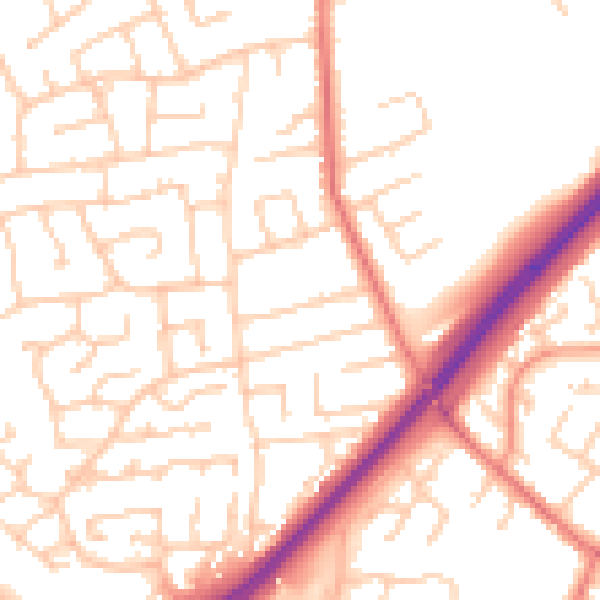
Daytime· 07:00 – 23:00
52.7dB

Night-time· 23:00 – 07:00
41.7dB