3 Burrill Avenue, Drayton, Portsmouth, PO6 2JN
About 3 Burrill Avenue
3 Burrill Avenue is a four-bedroom detached house in Drayton, Portsmouth, Portsmouth (PO6 2JN). It has a recorded floor area of 176 m² (around 1894 sq ft), construction records dating it to before 1900 and council tax band E. The latest certificate (July 2022) shows a D (score 55), a step below the typical UK home. When first surveyed in July 2010 the rating was E, the property has climbed 1 band since. Between certificates, window efficiency went from Average to Good and lighting went from Very Poor to Very Good. The recommended improvements would push it to C (score 78). Other recorded features include outbuildings. Period features are noted in the property record.
At 176 m² it's 22.2% larger than the typical home in the postcode (144 m² median across 5 EPCs). Across 2003–2023, sale prices on this property compounded at 2.9% per year. On a £-per-square-foot basis, the last sale (£293/sq ft) was about 67.8% above the typical sold price in the postcode. Last sale on file: £555,000 in January 2023. One historical planning record sits against the property in 2003.
Know exactly what you're buying at 3 Burrill Avenue
Before you offer, see what the listing won't tell you, the true value, the red flags and the full history.
Already flagged here
Valuation
against the asking price
Risks
planning & flood
Sold prices
similar homes nearby
Trends
the local market
What this property has
Inside
- Bedrooms4
- Bathrooms2
- Dining roomYes
- EnsuiteYes
Outside
- Private gardenWest-facing
- DrivewayYes
- OutbuildingsYes
Building
- Period featuresYes
Energy performance
3 Burrill Avenue's carbon output runs well above what efficient homes in the postcode produce.
EPC Rating
Property Improvements
Changes detected from historical EPC data
Heating controls upgraded for better temperature management
Windows upgraded, improving insulation
More low energy lighting installed
Planning history
- Aug 2003AmendmentIn report
CERTIFICATE OF LAWFULNESS FOR THE EXISTING USE AS A SINGLE DWELLINGHOUSE
Retrospective- Documents
- 2 docs on file
- Reference
- A*38184/AA
We flagged 2 things worth checking at 3 Burrill Avenue
Independent checks surfaced things a buyer would want to understand before offering. The report explains each one in full, with the underlying data and what to ask.
- Signs of HMO activity in the area
- Larger development activity nearby
30-day money-back guarantee
Sales history & valuation
Latest sale on 3 Burrill Avenue was the highest on Land Registry record across the postcode.
£601,000
Modelled from EPC, postcode comparables and a sale-price growth of 2.9% per year over 19 years.
£555,000
Growth on file: 2.9% per year over 19 years.
Sales timeline
4 January 2023Most recent
£555,000
+72.9%over 19 years28 November 2003
£321,000
Median price across the last 5 sales in PO6 2JN: £375,000 (2020–2003).
Nearby sales in PO6 2JN
19 Burrill Avenue, Drayton, Portsmouth, PO6 2JN
Sold Oct 2020
£435,00017 Burrill Avenue, Drayton, Portsmouth, PO6 2JN
Sold Jun 2017
£375,0005 Burrill Avenue, Drayton, Portsmouth, PO6 2JN
Sold Oct 2016
£320,00015 Burrill Avenue, Drayton, Portsmouth, PO6 2JN
Sold Aug 2014
£436,50011a, Burrill Avenue, Drayton, Portsmouth, PO6 2JN
Sold Feb 2003
£279,000
Everything we know about 3 Burrill Avenue, in one report
What it's really worth, what could be wrong, and the planning, sales and area data in full.
What we flagged
- Signs of HMO activity in the area
- Larger development activity nearby

Versus other Burrill Avenue homes
Years Held for 3 Burrill Avenue lags the street by a wide margin.
Price per m²
£3,153
Street avg £2,765
Floor Area
176 m²
Street avg 137 m²
Habitable Rooms
7 rooms
Street avg 5 rooms
CO₂ Emissions
8.3 t/year
Street avg 5.8 t/year
Similar properties nearby
1 East Court, Cosham
PO6 2NX
1 Edison Spur, Drayton
PO6 2NW
1 Bernard Avenue, Drayton
PO6 2JP
1 Carshalton Avenue
PO6 2JT
1 Carmarthen Avenue, Drayton
PO6 2AG
1 Beaconsfield Avenue
PO6 2PS
1 Dovercourt Road
PO6 2RZ
1 Cranborne Road, Drayton
PO6 2BG
The neighbourhood at a glance
Rail-style transport is unusually close for this postcode.
Crime
9/mo
Steady year-on-year across the wider district.
Nearest stop
0.2 km
St. Colmans Church — bus stop.
Closest school
0.4 km
Court Lane Infant Academy. 20 schools nearby.
Go deeper on the local area
The full report breaks down crime, transport links, schools and air quality in depth.
Road noise across the postcode
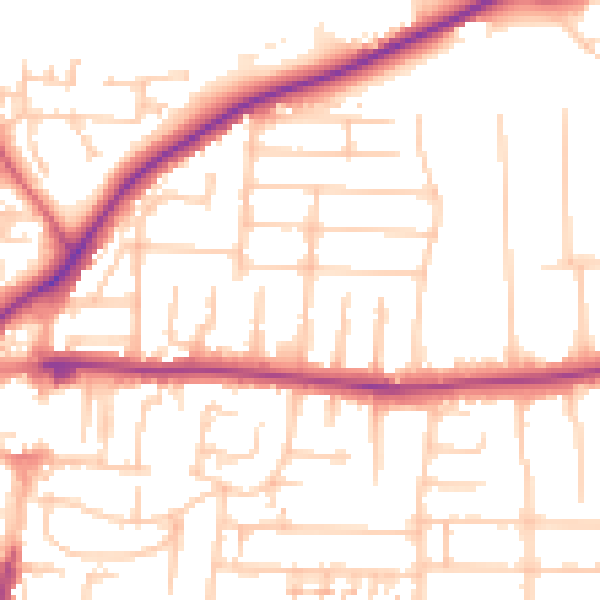
Daytime· 07:00 – 23:00
53.0dB

Night-time· 23:00 – 07:00
43.4dB