57 Evelegh Road, Portsmouth, PO6 1DJ
About 57 Evelegh Road
57 Evelegh Road is a property in Portsmouth (PO6 1DJ). It has council tax band E.
Held since June 2007 — that's 19 years off the open market, well above the local norm. That sale landed at the peak of the pre-credit-crunch market, which is a useful reference point when interpreting the price. 2 planning records sit against the property, 0 approved, 1 refused.
Know exactly what you're buying at 57 Evelegh Road
Before you offer, see what the listing won't tell you, the true value, the red flags and the full history.
Already flagged here
Valuation
against the asking price
Risks
planning & flood
Sold prices
similar homes nearby
Trends
the local market
Energy performance
No EPC on record
This property doesn't have an Energy Performance Certificate yet. An EPC is required to sell or let — and unlocks our automated valuation.
Planning history
- Jan 2008ExtensionFullIn report
Extension: Single storey · Rear of property
Construction of single storey rear extension
- Documents
- 9 docs on file
- Reference
- 07/02212/FUL
- Sept 2004ConversionFullIn report
CONVERSION TO FORM ONE FLAT AT GROUND FLOOR LEVEL AND MAISONETTE TO UPPER FLOORS; ALTERATIONS TO REAR ELEVATION INCLUDING INSTALLATION OF EXTERNAL STAIRCASE AND NEW DOOR
- Documents
- 6 docs on file
- Reference
- A*34977/AC
We flagged 1 thing worth checking at 57 Evelegh Road
Independent checks surfaced things a buyer would want to understand before offering. The report explains each one in full, with the underlying data and what to ask.
- Signs of HMO activity in the area
30-day money-back guarantee
Sales history & valuation
The latest sale landed at the peak of the pre-credit-crunch market — a high-water reference point.
£377,500
Recorded with HM Land Registry.
Sales timeline
24 June 2007Most recent
£377,500
Median price across the last 5 sales in PO6 1DJ: £522,500 (2024–2018).
Nearby sales in PO6 1DJ
Everything we know about 57 Evelegh Road, in one report
What it's really worth, what could be wrong, and the planning, sales and area data in full.
What we flagged
- Signs of HMO activity in the area

Similar properties nearby
The neighbourhood at a glance
Crime
9/mo
Steady year-on-year across the wider district.
Nearest stop
0.2 km
Sunshine Inn — bus stop.
Closest school
0.4 km
Solent Infant School. 22 schools nearby.
Go deeper on the local area
The full report breaks down crime, transport links, schools and air quality in depth.
Road noise across the postcode
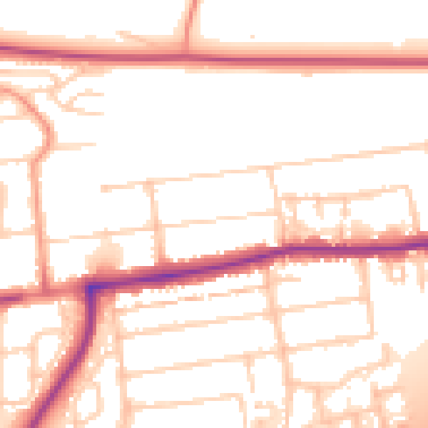
Daytime· 07:00 – 23:00
53.5dB

Night-time· 23:00 – 07:00
44.4dB