105b, St Andrews Road, Southsea, PO5 1ES
About 105b
105b is a two-bedroom mid-terrace house in Southsea (PO5 1ES). It has a recorded floor area of 75 m² (around 807 sq ft), construction records dating it to 1930-1949 and council tax band A. At 75 m² this is the 27th smallest of 38 units on EPC record in the building, where floor areas span 39–245 m². The building's EPC ratings span G to C across 38 units on file. The latest certificate (June 2017) shows a D (score 60), on the cusp of jumping into the C band. The recommended improvements would push it to C (score 70).
Held since May 2007 — that's 19 years off the open market, well above the local norm. That sale landed at the peak of the pre-credit-crunch market, which is a useful reference point when interpreting the price. At 75 m² the property is well over the postcode median (55 m² across 37 EPCs), placing it in the larger end of the local stock. Across 1995–2007, sale prices on this property compounded at 10.6% per year. Today's modelled estimate of £155,000 is 37.2% above the 2007 sale price.
Know exactly what you're buying at 105b
Before you offer, see what the listing won't tell you, the true value, the red flags and the full history.
Already flagged here
Launch offer · save £5
Valuation
against the asking price
Risks
planning & flood
Sold prices
similar homes nearby
Trends
the local market
What this property has
Inside
- Bedrooms2
Energy performance
EPC Rating
Planning history
105b has no planning applications on record.
Notable planning nearby
111applications of note in the surrounding area
We flagged 1 thing worth checking at 105b
Independent checks surfaced things a buyer would want to understand before offering. The report explains each one in full, with the underlying data and what to ask.
- Signs of HMO activity in the area
30-day money-back guarantee
Sales history & valuation
105b has more than tripled in price since its earliest registered sale in 1995.
£155,000
Modelled from EPC, postcode comparables and a sale-price growth of 10.6% per year over 12 years.
£113,000
Growth on file: 10.6% per year over 12 years.
Sales timeline
2 May 2007Most recent
£113,000
+222.9%over 11 years3 September 1995
£34,995
Median price across the last 5 sales in PO5 1ES: £153,000 (2025–2023).
Nearby sales in PO5 1ES
109a, St Andrews Road, Southsea, PO5 1ES
Sold Jun 2025
£145,000Lower Flat, 99 St Andrews Road, Southsea, PO5 1ES
Sold Mar 2024
£340,000109c, St Andrews Road, Southsea, PO5 1ES
Sold Sept 2023
£153,000101 St Andrews Road, Southsea, PO5 1ES
Sold Aug 2023
£410,000111c, St Andrews Road, Southsea, PO5 1ES
Sold Jul 2023
£146,000
Everything we know about 105b, in one report
What it's really worth, what could be wrong, and the planning, sales and area data in full.
What we flagged
- Signs of HMO activity in the area

Versus other St Andrews Road homes
On floor area, 105b stands well clear of the street.
Price per m²
£1,507
Street avg £1,982
Floor Area
75 m²
Street avg 54 m²
Habitable Rooms
3 rooms
Street avg 2 rooms
CO₂ Emissions
3.6 t/year
Street avg 2.0 t/year
Similar properties nearby
1 Cleveland Road
PO5 1SF
1 Dufose Terrace, St Andrews Road
PO5 1DX
1 Harrow Road
PO5 1SJ
1 Pains Road
PO5 1HE
1 Montgomerie Road
PO5 1EB
1 Britannia Road
PO5 1SN
1 Campbell Road
PO5 1RH
1 Chelsea Road
PO5 1NH
The neighbourhood at a glance
Rail-style transport is unusually close for this postcode.
Crime
11/mo
Steady year-on-year across the wider district.
Nearest stop
0.1 km
Somers Road — bus stop.
Closest school
0.2 km
Ark Ayrton Primary Academy. 36 schools nearby.
Go deeper on the local area
The full report breaks down crime, transport links, schools and air quality in depth.
Road noise across the postcode
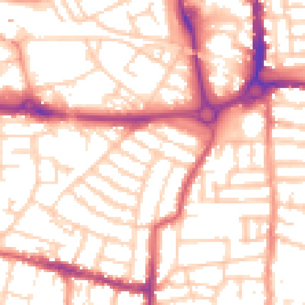
Daytime· 07:00 – 23:00
54.5dB

Night-time· 23:00 – 07:00
43.3dB