67 St Andrews Road, Southsea, PO5 1ER
About 67 St Andrews Road
67 St Andrews Road is a mid-terrace house in Southsea (PO5 1ER). It has a recorded floor area of 202 m² (around 2174 sq ft), construction records dating it to before 1900 and council tax band D. The latest certificate (June 2013) shows a D (score 56), a step below the typical UK home. The recommended improvements would push it to C (score 75). The latest certificate is from June 2013, so improvements made since then won't be reflected.
At 202 m² the property is well over the postcode median (58 m² across 29 EPCs), placing it in the larger end of the local stock. Across 1997–2014, sale prices on this property compounded at 6.1% per year. Today's modelled estimate of £523,000 sits 53.8% above the 2014 sale of £340,000. Last sold in August 2014, so it's been off the market for around 12 years. 3 planning records sit against the property, 0 approved, 1 refused.
Know exactly what you're buying at 67 St Andrews Road
Before you offer, see what the listing won't tell you, the true value, the red flags and the full history.
Already flagged here
Launch offer · save £5
Valuation
against the asking price
Risks
planning & flood
Sold prices
similar homes nearby
Trends
the local market
Energy performance
67 St Andrews Road's carbon output runs well above what efficient homes in the postcode produce.
EPC Expired
This certificate is over 10 years old and is no longer valid.Expired 05 Jun 2023
EPC Rating
Planning history
Council records show a subdivision application — the property's legal arrangement has been altered.
- Apr 2015Loft ConversionFullIn report
Extension: Rear of property
Conversion to form 4 flats including construction of extensions to rear elevation and two dormer windows in rear roof slope (re-submission of 14/01396/FUL)
- Agent
- FAO Mr John Pike
ExtensionSubdivision- Documents
- 9 docs on file
- Reference
- 15/00319/FUL
- Dec 2014SubdivisionFullIn report
Extension: Rear of property
Conversion to form 4 flats to include construction of 3 storey rear extension
- Agent
- FAO Mr John Pike
Extension- Documents
- 8 docs on file
- Reference
- 14/01396/FUL
We flagged 1 thing worth checking at 67 St Andrews Road
Independent checks surfaced things a buyer would want to understand before offering. The report explains each one in full, with the underlying data and what to ask.
- Signs of HMO activity in the area
30-day money-back guarantee
Sales history & valuation
67 St Andrews Road has more than doubled in price since the earliest registered sale in 1997.
£523,000
Modelled from EPC, postcode comparables and a sale-price growth of 6.1% per year over 17 years.
£340,000
Growth on file: 6.1% per year over 17 years.
Sales timeline
14 August 2014Most recent
£340,000
+172.0%over 16 years3 September 1997
£125,000
Median price across the last 5 sales in PO5 1ER: £225,000 (2024–2019).
Nearby sales in PO5 1ER
Flat 1, 53 St Andrews Road, Southsea, PO5 1ER
Sold Nov 2024
£126,50065 St Andrews Road, Southsea, PO5 1ER
Sold Jan 2024
£470,00037 St Andrews Road, Southsea, PO5 1ER
Sold Sept 2023
£225,00051 St Andrews Road, Southsea, PO5 1ER
Sold Jun 2021
£495,00037a, St Andrews Road, Southsea, PO5 1ER
Sold May 2019
£155,750
Everything we know about 67 St Andrews Road, in one report
What it's really worth, what could be wrong, and the planning, sales and area data in full.
What we flagged
- Signs of HMO activity in the area

Versus other St Andrews Road homes
67 St Andrews Road is notably below the street on co₂ emissions.
Price per m²
£1,683
Street avg £1,446
Floor Area
202 m²
Street avg 181 m²
Habitable Rooms
10 rooms
Street avg 7 rooms
CO₂ Emissions
8.7 t/year
Street avg 7.4 t/year
Similar properties nearby
The neighbourhood at a glance
Crime
11/mo
Steady year-on-year across the wider district.
Nearest stop
0.1 km
Outram Road — bus stop.
Closest school
0.3 km
Cottage Grove Primary School and Nursery. 35 schools nearby.
Go deeper on the local area
The full report breaks down crime, transport links, schools and air quality in depth.
Road noise across the postcode
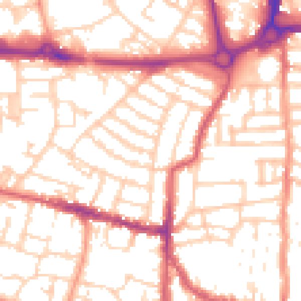
Daytime· 07:00 – 23:00
54.0dB

Night-time· 23:00 – 07:00
42.8dB