51 St Andrews Road, Southsea, PO5 1ER
About 51 St Andrews Road
51 St Andrews Road is a five-bedroom end-of-terrace house in Southsea (PO5 1ER). It has a recorded floor area of 220 m² (around 2368 sq ft), construction records dating it to 1900-1929 and council tax band D. The latest certificate (March 2023) shows a C (score 70). When first surveyed in May 2009 the rating was E, the property has climbed 2 bands since. Between certificates, wall efficiency went from Very Poor to Poor, roof efficiency went from Poor to Good and hot-water efficiency went from Average to Good; while main heating dropped from Very Good to Good. The recommended improvements would push it to B (score 82).
At 220 m² the property is well over the postcode median (58 m² across 29 EPCs), placing it in the larger end of the local stock. Across 1996–2021, sale prices on this property compounded at 7.9% per year. Today's modelled estimate of £572,000 is 15.6% above the 2021 sale price. On a £-per-square-foot basis, the last sale (£209/sq ft) was about 34.1% above the typical sold price in the postcode. Last sale on file: £495,000 in June 2021. That sale was during the post-pandemic price surge, when transactions cleared materially above pre-2020 trend.
Know exactly what you're buying at 51 St Andrews Road
Before you offer, see what the listing won't tell you, the true value, the red flags and the full history.
Already flagged here
Launch offer · save £5
Valuation
against the asking price
Risks
planning & flood
Sold prices
similar homes nearby
Trends
the local market
What this property has
Inside
- Bedrooms5
- Bathrooms3
Energy performance
51 St Andrews Road's carbon output runs well above what efficient homes in the postcode produce.
EPC Rating
Property Improvements
Changes detected from historical EPC data
Wall insulation improved
Loft insulation upgraded to recommended levels
Low energy lighting percentage decreased
Hot water system upgraded
More low energy lighting installed
Solar PV panels (30 kWp) installed
Planning history
51 St Andrews Road has no planning applications on record.
Notable planning nearby
111applications of note in the surrounding area
We flagged 1 thing worth checking at 51 St Andrews Road
Independent checks surfaced things a buyer would want to understand before offering. The report explains each one in full, with the underlying data and what to ask.
- Signs of HMO activity in the area
30-day money-back guarantee
Sales history & valuation
Latest sale on 51 St Andrews Road was the highest on Land Registry record across the postcode.
£572,000
Modelled from EPC, postcode comparables and a sale-price growth of 7.9% per year over 25 years.
£495,000
Growth on file: 7.9% per year over 25 years.
Sales timeline
22 June 2021Most recent
£495,000
+75.2%over 13 years30 August 2007
£282,500
+276.7%over 11 years28 July 1996
£75,000
Median price across the last 5 sales in PO5 1ER: £155,750 (2024–2018).
Nearby sales in PO5 1ER
Flat 1, 53 St Andrews Road, Southsea, PO5 1ER
Sold Nov 2024
£126,50065 St Andrews Road, Southsea, PO5 1ER
Sold Jan 2024
£470,00037 St Andrews Road, Southsea, PO5 1ER
Sold Sept 2023
£225,00037a, St Andrews Road, Southsea, PO5 1ER
Sold May 2019
£155,750Garden Flat, 53 St Andrews Road, Southsea, PO5 1ER
Sold Apr 2018
£125,000
Everything we know about 51 St Andrews Road, in one report
What it's really worth, what could be wrong, and the planning, sales and area data in full.
What we flagged
- Signs of HMO activity in the area

Versus other St Andrews Road homes
On price per m², 51 St Andrews Road stands well clear of the street.
Price per m²
£2,250
Street avg £1,365
Floor Area
220 m²
Street avg 179 m²
Habitable Rooms
7 rooms
Street avg 8 rooms
CO₂ Emissions
6.5 t/year
Street avg 7.7 t/year
Similar properties nearby
1 Livingstone Road
PO5 1RS
1 Grove Road North
PO5 1JJ
1 Lorne Road
PO5 1RR
1 Goodwood Road
PO5 1NN
1 Boulton Road
PO5 1NS
1 Baileys Road
PO5 1EA
1 Chelsea Road
PO5 1NH
1 Montgomerie Road
PO5 1EB
The neighbourhood at a glance
Crime
11/mo
Steady year-on-year across the wider district.
Nearest stop
0.1 km
Outram Road — bus stop.
Closest school
0.3 km
Cottage Grove Primary School and Nursery. 35 schools nearby.
Go deeper on the local area
The full report breaks down crime, transport links, schools and air quality in depth.
Road noise across the postcode
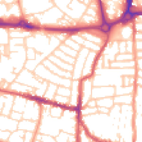
Daytime· 07:00 – 23:00
54.0dB

Night-time· 23:00 – 07:00
42.8dB