Flat 5, 86 Victoria Road North, Southsea, PO5 1AW
About Flat 5
Flat 5 is a detached house in Southsea (PO5 1AW). It has a recorded floor area of 30 m² (around 323 sq ft). At 30 m² this is the 3rd smallest of 7 units on EPC record in the building, where floor areas span 23–49 m². The building's EPC ratings span E to C across 7 units on file. The latest certificate (January 2020) shows a D (score 64), on the cusp of jumping into the C band. Main heating runs on electricity: electricity, unspecified tariff.
Know exactly what you're buying at Flat 5
Before you offer, see what the listing won't tell you, the true value, the red flags and the full history.
Already flagged here
Launch offer · save £5
Valuation
against the asking price
Risks
planning & flood
Sold prices
similar homes nearby
Trends
the local market
Energy performance
EPC Rating
Planning history
Flat 5 has no planning applications on record.
Notable planning nearby
111applications of note in the surrounding area
We flagged 1 thing worth checking at Flat 5
Independent checks surfaced things a buyer would want to understand before offering. The report explains each one in full, with the underlying data and what to ask.
- Signs of HMO activity in the area
30-day money-back guarantee
Sales history & valuation
Flat 5 has no Land Registry sales on file, suggesting it has stayed in the same hands since registration began.
£145,000
Modelled from EPC, postcode comparables.
No sales recorded with HM Land Registry
That can mean the property has never traded since the registry began publishing in 1995, was a new build that hasn't been registered yet, or is held in the same hands long-term.
Median price across the last 2 sales in PO5 1AW: £87,500 (2024–2023).
Everything we know about Flat 5, in one report
What it's really worth, what could be wrong, and the planning, sales and area data in full.
What we flagged
- Signs of HMO activity in the area

Versus other Victoria Road North homes
EPC Rating
64 (D)
Street avg 64 (D)
Floor Area
30 m²
Street avg 33 m²
CO₂ Emissions
1.6 t/year
Street avg 1.7 t/year
Similar properties nearby
111 113, Flat A, Elm Grove
PO5 1LH
111 113, Flat E, Elm Grove
PO5 1LH
24a, Flat 2, Elm Grove
PO5 1JG
111 113, Flat B, Elm Grove
PO5 1LH
23 25, Flat 3, St Andrews Road
PO5 1EP
165a, Flat 1, Elm Grove
PO5 1LU
111 113, Flat D, Elm Grove
PO5 1LH
23 25, Flat 5, St Andrews Road
PO5 1EP
The neighbourhood at a glance
Rail-style transport is unusually close for this postcode.
Crime
11/mo
Steady year-on-year across the wider district.
Nearest stop
0.0 km
Montgomerie Road — bus stop.
Closest school
0.3 km
Priory School. 36 schools nearby.
Go deeper on the local area
The full report breaks down crime, transport links, schools and air quality in depth.
Road noise across the postcode
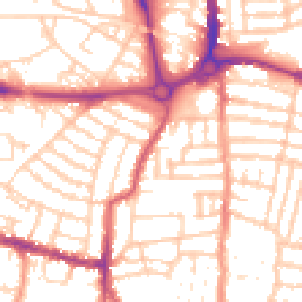
Daytime· 07:00 – 23:00
54.0dB

Night-time· 23:00 – 07:00
42.9dB