53 Bradford Road, Southsea, PO5 1AA
About 53 Bradford Road
53 Bradford Road is a mid-terrace house in Southsea (PO5 1AA). It has a recorded floor area of 102 m² (around 1098 sq ft), construction records dating it to 1930-1949 and council tax band B. The latest certificate (December 2015) shows a D (score 66), on the cusp of jumping into the C band. Earlier certificates rated it C (March 2015); the latest reading is one band lower. Between certificates, window efficiency went from Average to Good and lighting went from Very Poor to Poor; while roof efficiency dropped from Very Good to Very Poor. The recommended improvements would push it to C (score 78). The latest certificate is from December 2015, so improvements made since then won't be reflected.
Held since December 1998 — that's 28 years off the open market, well above the local norm. Only one transfer is on record with HM Land Registry, suggesting it has stayed in the same hands for a long time. Today's modelled estimate of £240,000 sits 313.8% above the 1998 sale of £58,000. On a £-per-square-foot basis, the last sale (£53/sq ft) was about 54.5% below the postcode norm. One historical planning record sits against the property in 2019.
Know exactly what you're buying at 53 Bradford Road
Before you offer, see what the listing won't tell you, the true value, the red flags and the full history.
Already flagged here
Launch offer · save £5
Valuation
against the asking price
Risks
planning & flood
Sold prices
similar homes nearby
Trends
the local market
Energy performance
EPC Expired
This certificate is over 10 years old and is no longer valid.Expired 10 Dec 2025
EPC Rating
Property Improvements
Changes detected from historical EPC data
Window efficiency improved
Planning history
- Jun 2019ExtensionFullIn report
Widening of existing single storey rear extension
- Documents
- 8 docs on file
- Reference
- 19/00724/HOU
We flagged 1 thing worth checking at 53 Bradford Road
Independent checks surfaced things a buyer would want to understand before offering. The report explains each one in full, with the underlying data and what to ask.
- Signs of HMO activity in the area
30-day money-back guarantee
Sales history & valuation
53 Bradford Road's modelled value sits at over four times its earliest registered sale price (1998).
£240,000
Modelled from EPC, postcode comparables.
£58,000
Recorded with HM Land Registry.
Sales timeline
4 December 1998Most recent
£58,000
Median price across the last 5 sales in PO5 1AA: £222,000 (2025–2019).
Nearby sales in PO5 1AA
Everything we know about 53 Bradford Road, in one report
What it's really worth, what could be wrong, and the planning, sales and area data in full.
What we flagged
- Signs of HMO activity in the area

Versus other Bradford Road homes
Price per m² for 53 Bradford Road lags the street by a wide margin.
Price per m²
£569
Street avg £3,401
Floor Area
102 m²
Street avg 107 m²
Habitable Rooms
6 rooms
Street avg 5 rooms
CO₂ Emissions
3.7 t/year
Street avg 4.3 t/year
Similar properties nearby
The neighbourhood at a glance
Rail-style transport is unusually close for this postcode.
Crime
11/mo
Steady year-on-year across the wider district.
Nearest stop
0.0 km
Bradford Junction — bus stop.
Closest school
0.2 km
Ark Ayrton Primary Academy. 36 schools nearby.
Go deeper on the local area
The full report breaks down crime, transport links, schools and air quality in depth.
Road noise across the postcode
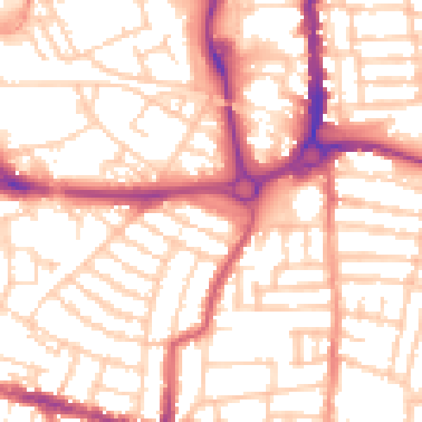
Daytime· 07:00 – 23:00
54.5dB

Night-time· 23:00 – 07:00
43.4dB