Are you a property professional?Get qualified leads from motivated homeowners.
Get started22a, York Road, Sandown, PO36 8ET
1 planning record
About 22a
A plain-English summary derived from public records, EPC certificates, sold prices and local data.
22a is a five-bedroom detached house in Sandown (PO36 8ET). It has a recorded floor area of 111 m² (around 1195 sq ft), construction records dating it to 1967-1975 and council tax band D. The latest certificate (February 2024) shows an E (score 54), well below the UK norm with real room to improve. The recommended improvements would lift it to C (score 79), a 2-band jump.
It hasn't traded since April 1999, a hold of 27 years that's notably long for the area. Only one transfer is on record with HM Land Registry, suggesting it has stayed in the same hands for a long time. At 111 m² the property is well over the postcode median (76 m² across 22 EPCs), placing it in the larger end of the local stock. It lags the bulk of the postcode on energy efficiency (less efficient than 86% of similar EPCs). 5 bedrooms is on the larger side for this postcode, where 3 is the typical count. Today's modelled estimate of £242,000 sits 255.9% above the 1999 sale of £68,000. On a £-per-square-foot basis, the last sale (£57/sq ft) was about 50.9% below the postcode norm. One planning record on file: subdivision approved in 2003. Past consents include subdivision, meaningful when judging how the property has evolved.
What this property has
Pulled from EPC certificates, claim submissions and our property model. Empty categories are hidden — we only show what's known.
Inside
- Bedrooms5
Outside
- Private gardenfront_and_rear
- Parkingallocated
Building
Energy performance
Every EPC certificate filed against this property — current rating, recorded improvements, and where there's headroom to reach a higher band.
Recommended upgrades on file would lift this property by multiple EPC bands.
EPC Rating
A
B
C
D
E
E54
F
G
Main Heating
Gas
Main Fuel
Gas
Hot Water
Good
Windows
Average
CO2 Emissions
5.7 t/year
Occupancy
Rented
Planning history
Applications and permits filed against 22a, York Road, Sandown, PO36 8ET, sourced from the PlanIt planning register.
Council records show a subdivision application — the property's legal arrangement has been altered.
- Apr 2003SubdivisionFullGranted
Conversion of house into 2 self-contained flats
Sales history & valuation
Recorded transactions, our model's current estimate, and a quick read on what neighbouring properties have sold for.
22a's estimated value is more than triple its earliest registered sale price (1999).
Current estimate
See how we calculated this£242,000
Modelled from EPC, postcode comparables.
Last sold (1999)
£68,000
Recorded with HM Land Registry.
Sales timeline
Launch offer · 33% off
The complete analysis of 22a, York Road, Sandown, PO36 8ET
Everything we know about this property, compiled into one in-depth, downloadable report.
Detailed AI analysis
An AI-written breakdown of everything that matters
Versus other York Road homes
Four headline reads against 11 similar houses on this street, drawn from the latest EPC and Land Registry data.
22a is notably below the street on price per m².
Price per m²
£613
Street avg £2,294
Floor Area
111 m²
Street avg 118 m²
Habitable Rooms
6 rooms
Street avg 5 rooms
Similar properties nearby
A handful of close matches in the same postcode area, ranked by likeness on bedrooms, type and floor area.
The neighbourhood at a glance
A condensed read of the local area. Each tile links through to the full breakdown on the Sandown district page.
Rail-style transport is unusually close for this postcode.
Crime
2/mo
Steady year-on-year across the wider district.
Nearest stop
0.1 km
Conservative Club — bus stop.
Road noise across the postcode
Modelled day and night-time noise levels around PO36 8ET from Defra's strategic mapping. The pin marks this postcode's centroid.
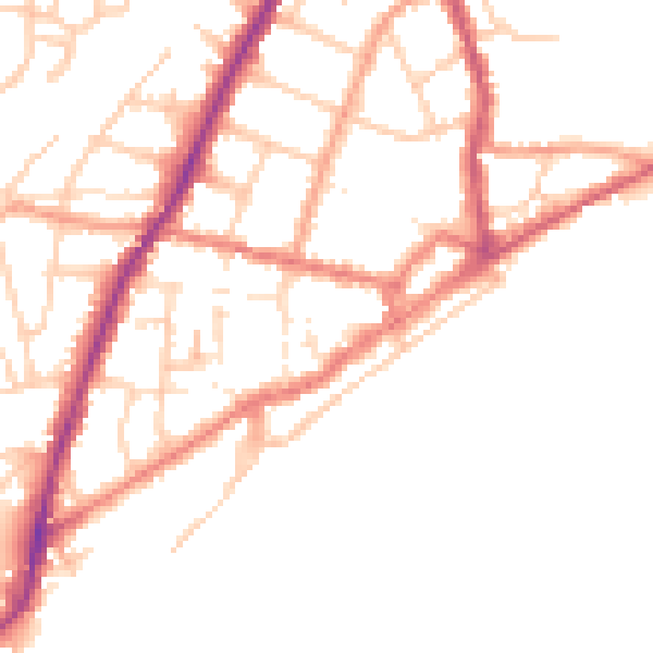
Daytime· 07:00 – 23:00
51.5dB

Everything within walking distance
Schools, transport stops and scenic spots near this property — 35 points of interest in total.
Common questions
The questions buyers, sellers and homeowners most often ask about 22a, York Road, Sandown, PO36 8ET. Each answer is also embedded as structured data for search engines.
