10a, Argyll Street, Ryde, PO33 3BZ
About 10a
10a is a semi-detached house in Ryde (PO33 3BZ). It has a recorded floor area of 80 m² (around 861 sq ft), construction records dating it to 1900-1929 and council tax band A. At 80 m² this is the 2nd smallest of 14 units on EPC record in the building, where floor areas span 56–233 m². The building's EPC ratings span F to C, with this unit at the top. The latest certificate (November 2019) shows a C (score 69), just inside the C band.
At 80 m² it sits well below the postcode median (144 m² across 13 EPCs), making it one of the more compact homes locally. Today's modelled estimate of £146,000 is 39% above the 2020 sale price. On a £-per-square-foot basis, the last sale (£122/sq ft) was about 17.8% below the postcode norm. Sold February 2020 for £105,000.
Everything you need to know about 10a
The true value, the hidden risks and the full sale history, in one report.
30-day money-back guarantee

The data behind every report


Energy performance
EPC Rating
Planning history
10a has no planning applications on record.
Notable planning nearby
1applications of note in the surrounding area
We flagged 1 thing worth checking at 10a
Independent checks surfaced things a buyer would want to understand before offering. The report explains each one in full, with the underlying data and what to ask.
- Larger development activity nearby
30-day money-back guarantee
Sales history & valuation
The latest sale landed in the post-pandemic price surge — useful context when reading the figure.
£146,000
Modelled from EPC, postcode comparables.
£105,000
Recorded with HM Land Registry.
Sales timeline
21 February 2020Most recent
£105,000
Median price across the last 5 sales in PO33 3BZ: £385,000 (2025–2017).
Versus other Argyll Street homes
10a is notably below the street on years held.
Price per m²
£1,313
Street avg £1,948
Floor Area
80 m²
Street avg 84 m²
Habitable Rooms
3 rooms
Street avg 4 rooms
CO₂ Emissions
2.8 t/year
Street avg 4.1 t/year
Everything you need to know about 10a
The true value, the hidden risks and the full sale history, in one report.
30-day money-back guarantee
The data behind every report
Similar properties nearby
The neighbourhood at a glance
Rail-style transport is unusually close for this postcode.
Crime
7/mo
Steady year-on-year across the wider district.
Nearest stop
0.1 km
Parish Church — bus stop.
Closest school
0.6 km
Greenmount Primary School. 7 schools nearby.
Go deeper on the local area
The full report breaks down crime, transport links, schools and air quality in depth.
Road noise across the postcode
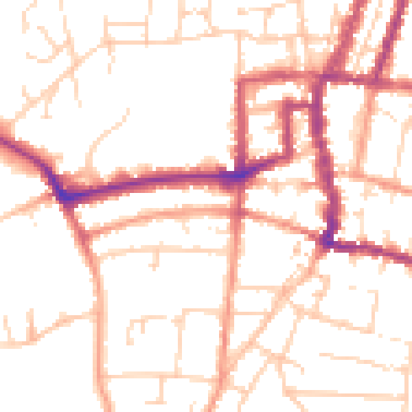
Daytime· 07:00 – 23:00
51.1dB

Night-time· 23:00 – 07:00
41.0dB