High Lea, Field Lane, St Helens, Ryde, PO33 1UY
About High Lea
High Lea is a three-bedroom semi-detached house in St. Helens, Ryde, Ryde (PO33 1UY). It has a recorded floor area of 87 m² (around 936 sq ft) and construction records dating it to 1930-1949. The latest certificate (June 2022) shows a D (score 60), on the cusp of jumping into the C band. When first surveyed in February 2010 the rating was E, the property has climbed 1 band since. Between certificates, roof efficiency went from Poor to Average, hot-water efficiency went from Poor to Good and lighting went from Very Poor to Very Good. The recommended improvements would push it to C (score 80).
At 87 m² the property is well over the postcode median (40 m² across 19 EPCs), placing it in the larger end of the local stock. It lags the bulk of the postcode on energy efficiency (less efficient than 84% of similar EPCs). One planning record on file: an extension approved in 2021. Past consents include an extension and partial demolition, meaningful when judging how the property has evolved. Across 2014–2022, sale prices on this property compounded at 5.7% per year. On a £-per-square-foot basis, the last sale (£432/sq ft) was about 64.2% above the typical sold price in the postcode. Last sale on file: £405,000 in November 2022. That sale was during the post-pandemic price surge, when transactions cleared materially above pre-2020 trend.
What this property has
Inside
- Bedrooms3
- Bathrooms2
- FireplaceYes
Outside
- GarageYes
Building
- Central heatingYes
- RefurbishedYes
Everything you need to know about High Lea
The true value, the hidden risks and the full sale history, in one report.
30-day money-back guarantee

The data behind every report


Energy performance
EPC Rating
Property Improvements
Changes detected from historical EPC data
Hot water system upgraded
Roof insulation improved
More low energy lighting installed
Planning history
Planning history includes recorded demolition works, indicating a major rebuild phase at this address.
- Oct 2021DemolitionFullIn report
Extension: Single storey · Side of property
Demolition of conservatory; Proposed single storey extension to side forming additional living accommodation
- Agent
- Holbrook Architectural Sevices Ltd
Extension- Documents
- 5 docs on file
- Reference
- 21/01624/HOU
We flagged 1 thing worth checking at High Lea
Independent checks surfaced things a buyer would want to understand before offering. The report explains each one in full, with the underlying data and what to ask.
- Larger development activity nearby
30-day money-back guarantee
Sales history & valuation
Latest sale on High Lea was the highest on Land Registry record across the postcode.
£413,000
Modelled from EPC, postcode comparables and a sale-price growth of 5.7% per year over 9 years.
£405,000
Growth on file: 5.7% per year over 9 years.
Sales timeline
9 November 2022Most recent
£405,000
+62.0%over 8 years21 February 2014
£250,000
Median price across the last 5 sales in PO33 1UY: £240,000 (2024–2001).
Everything you need to know about High Lea
The true value, the hidden risks and the full sale history, in one report.
30-day money-back guarantee
The data behind every report
Similar properties nearby
1 Downs View Road, St Helens
PO33 1YE
1 Amherst Mews
PO33 1FG
1 Arundel Close
PO33 1BS
1 Banbury Close, Somerset Road
PO33 1DP
1 Broomlands Close, St Helens
PO33 1XH
1 Down Cottage, Upper Green Road, St Helens
PO33 1XF
1 Amherst Place
PO33 1FE
1 Bellevue, Lower Green Road, St Helens
PO33 1UB
The neighbourhood at a glance
Daytime road noise here sits well below conversation level — a quiet pocket of the postcode.
Crime
7/mo
Steady year-on-year across the wider district.
Nearest stop
0.1 km
West Green — bus stop.
Closest school
0.3 km
St Helens Primary School. 4 schools nearby.
Go deeper on the local area
The full report breaks down crime, transport links, schools and air quality in depth.
Road noise across the postcode
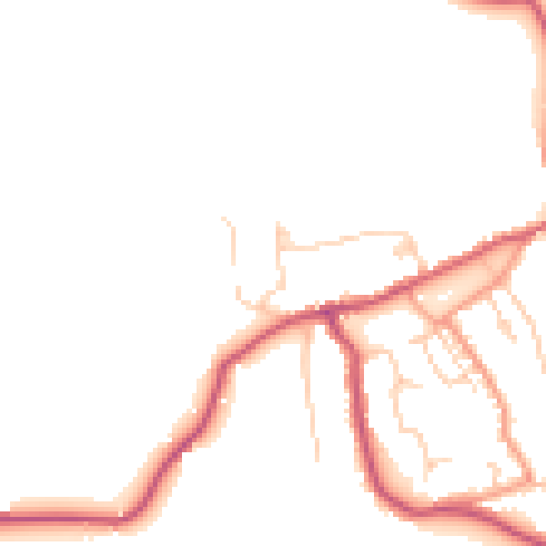
Daytime· 07:00 – 23:00
46.3dB

Night-time· 23:00 – 07:00
38.8dB