52 St Johns Wood Road, Ryde, PO33 1HL
About 52 St Johns Wood Road
52 St Johns Wood Road is a semi-detached house in Ryde (PO33 1HL). It has a recorded floor area of 83 m² (around 893 sq ft), construction records dating it to 1900-1929 and council tax band B. The latest certificate (February 2025) shows a C (score 69), just inside the C band. The recommended improvements would push it to B (score 85).
Untraded for 31 years, with the last transfer in January 1995. Only one transfer is on record with HM Land Registry, suggesting it has stayed in the same hands for a long time. Today's modelled estimate of £237,000 sits 464.3% above the 1995 sale of £42,000. On a £-per-square-foot basis, the last sale (£47/sq ft) was about 76.7% below the postcode norm.
Everything you need to know about 52 St Johns Wood Road
The true value, the hidden risks and the full sale history, in one report.
30-day money-back guarantee

The data behind every report


Energy performance
EPC Rating
Planning history
52 St Johns Wood Road has no planning applications on record.
Notable planning nearby
2applications of note in the surrounding area
We flagged 1 thing worth checking at 52 St Johns Wood Road
Independent checks surfaced things a buyer would want to understand before offering. The report explains each one in full, with the underlying data and what to ask.
- Larger development activity nearby
30-day money-back guarantee
Sales history & valuation
52 St Johns Wood Road's modelled value sits at over four times its earliest registered sale price (1995).
£237,000
Modelled from EPC, postcode comparables.
£42,000
Recorded with HM Land Registry.
Sales timeline
27 January 1995Most recent
£42,000
Median price across the last 5 sales in PO33 1HL: £230,000 (2025–2023).
Nearby sales in PO33 1HL
Versus other St Johns Wood Road homes
On price per m², 52 St Johns Wood Road runs well behind the street norm.
Price per m²
£506
Street avg £2,370
Floor Area
83 m²
Street avg 76 m²
Habitable Rooms
4 rooms
Street avg 4 rooms
CO₂ Emissions
2.9 t/year
Street avg 3.1 t/year
Everything you need to know about 52 St Johns Wood Road
The true value, the hidden risks and the full sale history, in one report.
30-day money-back guarantee
The data behind every report
Similar properties nearby
1 Arundel Close
PO33 1BS
1 Carpenters Cottage, Carpenters Road, St Helens
PO33 1YQ
1 Down Cottage, Upper Green Road, St Helens
PO33 1XF
1 Alpha Cottages, The Diggings, St Helens
PO33 1UP
1 Amherst Place
PO33 1FE
1 Blackthorn Close
PO33 1HY
1 Ashingdon, Lower Green Road, St Helens
PO33 1TS
1 Brook Close
PO33 1HB
The neighbourhood at a glance
Rail-style transport is unusually close for this postcode.
Crime
7/mo
Steady year-on-year across the wider district.
Nearest stop
0.2 km
Park Road — bus stop.
Closest school
0.4 km
St Mary's Catholic Primary School. 8 schools nearby.
Go deeper on the local area
The full report breaks down crime, transport links, schools and air quality in depth.
Road noise across the postcode
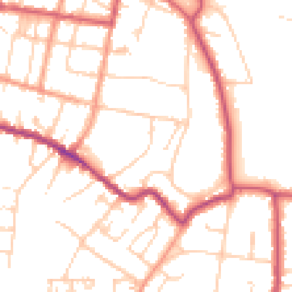
Daytime· 07:00 – 23:00
50.8dB
Night-time· 23:00 – 07:00
41.2dB