36 Bridgefoot Path, Emsworth, PO10 7EB
About 36 Bridgefoot Path
36 Bridgefoot Path is a semi-detached house in Emsworth (PO10 7EB). It has a recorded floor area of 104 m² (around 1119 sq ft), construction records dating it to 1900-1929 and council tax band D. The latest certificate (September 2023) shows a D (score 64), on the cusp of jumping into the C band. The recommended improvements would push it to C (score 76).
Today's modelled estimate of £442,000 is 13.1% below the 2024 sale of £508,500, an unusual pattern given regional price growth and worth checking against the EPC condition. On a £-per-square-foot basis, the last sale (£454/sq ft) was about 23.6% above the typical sold price in the postcode. One planning record on file: an extension approved in 2025. Past consents include an extension, meaningful when judging how the property has evolved. Most recent transfer: November 2024 at £508,500.
Know exactly what you're buying at 36 Bridgefoot Path
Before you offer, see what the listing won't tell you, the true value, the red flags and the full history.
Already flagged here
Launch offer · save £5
Valuation
against the asking price
Risks
planning & flood
Sold prices
similar homes nearby
Trends
the local market
Energy performance
EPC Rating
Planning history
36 Bridgefoot Path has an approved single-storey side and rear extension on the planning record.
- Nov 2025ExtensionFullIn report
Extension: Single storey · Side and rear of property
Erection of part side part rear single storey extension, existing front ground floor window removed and new French uPVC doors fitted to match existing style of first floor window
- Agent
- 2000 Architectural Design
- Documents
- 14 docs on file
- Reference
- APP/25/00528
We flagged 1 thing worth checking at 36 Bridgefoot Path
Independent checks surfaced things a buyer would want to understand before offering. The report explains each one in full, with the underlying data and what to ask.
- Larger development activity nearby
30-day money-back guarantee
Sales history & valuation
£442,000
Modelled from EPC, postcode comparables.
£508,500
Recorded with HM Land Registry.
Sales timeline
15 November 2024Most recent
£508,500
Median price across the last 5 sales in PO10 7EB: £660,000 (2025–2021).
Nearby sales in PO10 7EB
Everything we know about 36 Bridgefoot Path, in one report
What it's really worth, what could be wrong, and the planning, sales and area data in full.
What we flagged
- Larger development activity nearby

Versus other Bridgefoot Path homes
Years Held for 36 Bridgefoot Path lags the street by a wide margin.
Price per m²
£4,889
Street avg £5,198
Floor Area
104 m²
Street avg 108 m²
Habitable Rooms
5 rooms
Street avg 5 rooms
CO₂ Emissions
4.2 t/year
Street avg 4.9 t/year
Similar properties nearby
The neighbourhood at a glance
Rail-style transport is unusually close for this postcode.
Crime
2/mo
Steady year-on-year across the wider district.
Nearest stop
0.2 km
The Square — bus stop.
Closest school
1.0 km
Emsworth Primary School. 9 schools nearby.
Go deeper on the local area
The full report breaks down crime, transport links, schools and air quality in depth.
Road noise across the postcode
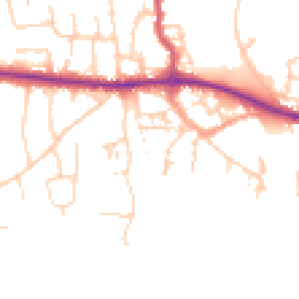
Daytime· 07:00 – 23:00
48.9dB

Night-time· 23:00 – 07:00
40.8dB