8 Queen Street, Emsworth, PO10 7BL
About 8 Queen Street
8 Queen Street is a three-bedroom end-of-terrace house in Emsworth (PO10 7BL). It has a recorded floor area of 71 m² (around 764 sq ft), construction records dating it to before 1900 and council tax band E. The property has underfloor heating on record, all of which lower running costs and tend to lift resale appeal. Period features are noted in the property record. The home occupies a cul-de-sac position. The latest certificate (September 2011) shows a D (score 62), on the cusp of jumping into the C band. The latest certificate is from September 2011, so improvements made since then won't be reflected.
Most recent transfer: January 2021 at £555,000. Across the public record there are 4 sales, relatively high churn for a single property. That sale was during the post-pandemic price surge, when transactions cleared materially above pre-2020 trend. Across 2003–2021, sale prices on this property compounded at 6.4% per year. On a £-per-square-foot basis, the last sale (£726/sq ft) was about 238.7% above the typical sold price in the postcode.
Know exactly what you're buying at 8 Queen Street
Before you offer, see what the listing won't tell you, the true value, the red flags and the full history.
Already flagged here
Launch offer · save £5
Valuation
against the asking price
Risks
planning & flood
Sold prices
similar homes nearby
Trends
the local market
What this property has
Inside
- Bedrooms3
- Bathrooms1
- Dining roomYes
- EnsuiteYes
Outside
- Private gardenYes
- Cul-de-sacYes
Building
- Underfloor heatingYes
- Period featuresYes
Energy performance
8 Queen Street's EPC is over a decade old — improvements since won't be reflected.
EPC Expired
This certificate is over 10 years old and is no longer valid.Expired 13 Sept 2021
EPC Rating
Planning history
8 Queen Street has no planning applications on record.
Notable planning nearby
2applications of note in the surrounding area
We flagged 1 thing worth checking at 8 Queen Street
Independent checks surfaced things a buyer would want to understand before offering. The report explains each one in full, with the underlying data and what to ask.
- Larger development activity nearby
30-day money-back guarantee
Sales history & valuation
8 Queen Street has more than doubled in price since the earliest registered sale in 2003.
£600,000
Modelled from EPC, postcode comparables and a sale-price growth of 6.4% per year over 17 years.
£555,000
Growth on file: 6.4% per year over 17 years.
Sales timeline
15 January 2021Most recent
£555,000
+43.2%over 9 years16 December 2011
£387,500
+58.2%over 6 years17 October 2005
£245,000
+28.9%over 2 years29 September 2003
£190,000
Median price across the last 5 sales in PO10 7BL: £300,000 (2025–2018).
Nearby sales in PO10 7BL
Everything we know about 8 Queen Street, in one report
What it's really worth, what could be wrong, and the planning, sales and area data in full.
What we flagged
- Larger development activity nearby

Versus other Queen Street homes
On price per m², 8 Queen Street stands well clear of the street.
Price per m²
£7,817
Street avg £4,260
Floor Area
71 m²
Street avg 97 m²
Habitable Rooms
6 rooms
Street avg 5 rooms
CO₂ Emissions
4.4 t/year
Street avg 5.6 t/year
Similar properties nearby
1 Bath Road
PO10 7EP
1 Churchill Drive
PO10 7SL
1 Birch Tree Drive
PO10 7RS
1 Bullfinch Close, Brushwood Grove
PO10 7GX
1 Bridge Road
PO10 7DT
1 Aubin Wood
PO10 7UA
1 Barwell Grove
PO10 7XY
1 Christopher Way
PO10 7QZ
The neighbourhood at a glance
Rail-style transport is unusually close for this postcode.
Crime
2/mo
Steady year-on-year across the wider district.
Nearest stop
0.1 km
The Square — bus stop.
Closest school
1.1 km
Emsworth Primary School. 8 schools nearby.
Go deeper on the local area
The full report breaks down crime, transport links, schools and air quality in depth.
Road noise across the postcode
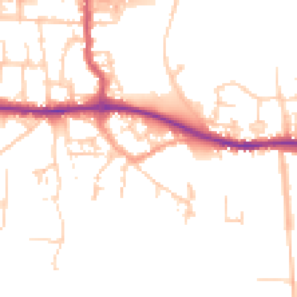
Daytime· 07:00 – 23:00
49.8dB

Night-time· 23:00 – 07:00
41.3dB