5 Seagull Court, North Street, Emsworth, PO10 7BB
About 5 Seagull Court
5 Seagull Court is an end-of-terrace house in Emsworth (PO10 7BB). It has a recorded floor area of 71 m² (around 764 sq ft), construction records dating it to 1976-1982 and council tax band B. The latest certificate (January 2024) shows a C (score 75), near the top of the C band. The rating has held steady at C across 2 certificates since January 2014.
Know exactly what you're buying at 5 Seagull Court
Before you offer, see what the listing won't tell you, the true value, the red flags and the full history.
Already flagged here
Launch offer · save £5
Valuation
against the asking price
Risks
planning & flood
Sold prices
similar homes nearby
Trends
the local market
Energy performance
EPC Rating
Planning history
5 Seagull Court has no planning applications on record.
Notable planning nearby
2applications of note in the surrounding area
We flagged 1 thing worth checking at 5 Seagull Court
Independent checks surfaced things a buyer would want to understand before offering. The report explains each one in full, with the underlying data and what to ask.
- Larger development activity nearby
30-day money-back guarantee
Sales history & valuation
5 Seagull Court has no Land Registry sales on file, suggesting it has stayed in the same hands since registration began.
£217,000
Modelled from EPC, postcode comparables.
No sales recorded with HM Land Registry
That can mean the property has never traded since the registry began publishing in 1995, was a new build that hasn't been registered yet, or is held in the same hands long-term.
Median price across the last 5 sales in PO10 7BB: £232,500 (2022–2016).
Nearby sales in PO10 7BB
Everything we know about 5 Seagull Court, in one report
What it's really worth, what could be wrong, and the planning, sales and area data in full.
What we flagged
- Larger development activity nearby

Versus other North Street homes
On epc rating, 5 Seagull Court stands well clear of the street.
EPC Rating
75 (C)
Street avg 74 (C)
Floor Area
71 m²
Street avg 82 m²
CO₂ Emissions
2.0 t/year
Street avg 2.3 t/year
Habitable Rooms
3 rooms
Street avg 3 rooms
Similar properties nearby
The neighbourhood at a glance
Rail-style transport is unusually close for this postcode.
Crime
2/mo
Steady year-on-year across the wider district.
Nearest stop
0.0 km
Railway Station — bus stop.
Closest school
0.7 km
Emsworth Primary School. 9 schools nearby.
Go deeper on the local area
The full report breaks down crime, transport links, schools and air quality in depth.
Road noise across the postcode
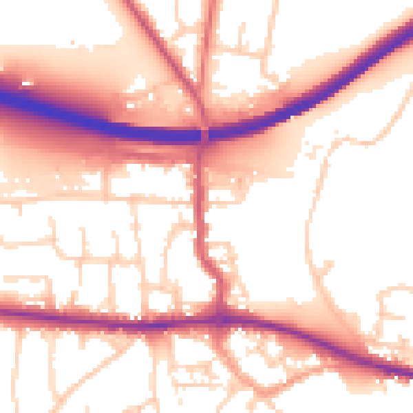
Daytime· 07:00 – 23:00
55.7dB

Night-time· 23:00 – 07:00
47.5dB